Long Strait
| Long Strait пролив Лонга | |
|---|---|
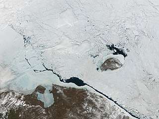 A view from space, with a long polynya in the strait and Wrangel Island to the north-east | |
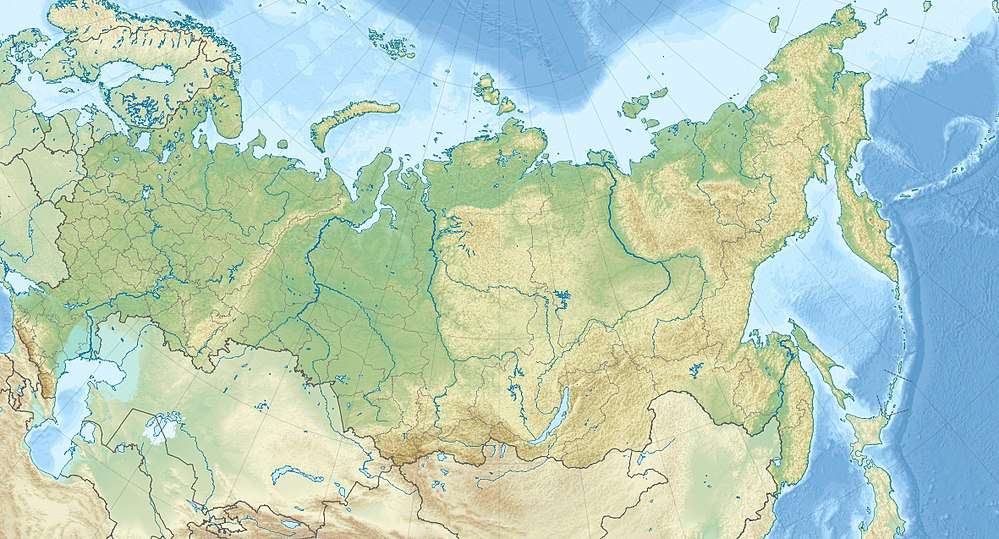 Long Strait Location in Russia | |
| Location | Russian Far East; between the East Siberian Sea and the Chukchi Sea |
| Coordinates | 69°49′N 176°10′E / 69.817°N 176.167°ECoordinates: 69°49′N 176°10′E / 69.817°N 176.167°E |
| Part of | Arctic Ocean |
| Basin countries | Russia |
| Max. length | 128 km (80 mi) |
| Max. width | 141 km (88 mi) |
| Max. depth | 50 m (160 ft) |
| Frozen | Most of the year |
The Long Strait (Russian: пролив Лонга; Proliv Longa) is a body of water in the Russian Federation.
Geography
This strait separates Wrangel Island from the Siberian mainland.[1] It is very broad, its minimum width being 141 km, between Cape Blossom at the southwestern tip of Wrangel Island and Cape Yakan, 65 km east of Cape Billings, close to Gytkhelen, Chukotka.[2]
The Long Strait is also a geographic landmark connecting the East Siberian Sea and the Chukchi Sea.
This strait was named after the American whaling captain Thomas Long.[3][4]
In August 1983, it was the site of a disaster when 50 ships were trapped in ice, with the loss of one and damage to as many as 30 others.
References
- ↑ Currents in Long Strait, Arctic Ocean
- ↑ GoogleEarth
- ↑ Britannica
- ↑ William J. Mills: Exploring Polar Frontiers: A Historical Encyclopedia, vol. 1 Google Books
External links
This article is issued from
Wikipedia.
The text is licensed under Creative Commons - Attribution - Sharealike.
Additional terms may apply for the media files.