Long Remirang
| Long Remirang | |
|---|---|
 Long Remirang | |
| Coordinates: 4°36′N 115°27′E / 4.6°N 115.45°E | |
| Country |
|
| State |
|
| Administrative Division | Lawas |
| Elevation | 587 m (1,926 ft) |
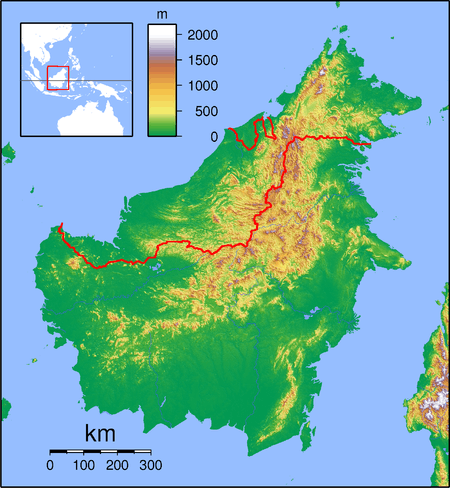
Long Remirang is a settlement in the Lawas division of Sarawak, Malaysia.[1][2] It lies approximately 660.3 kilometres (410 mi) east-north-east of the state capital Kuching.
Orientation
It is one of four villages, Long Lidung, Long Remirang, Puneng Brayong and Long Tuyo, which are close to Long Sukang, and which co-operate in social and welfare activities.[3]
Other neighbouring settlements include:
- Long Lutok 4.1 kilometres (2.5 mi) southeast
- Long Sukang 6.7 kilometres (4.2 mi) southeast
- Long Berayong 11.7 kilometres (7.3 mi) south
- Long Tengoa 13.1 kilometres (8.1 mi) west
- Kampung Kuala Beriwan 17.5 kilometres (10.9 mi) northwest
- Kampung Belu 17.6 kilometres (10.9 mi) north
- Pa Brayong 18.3 kilometres (11.4 mi) southeast
- Kampung Tagar 19.1 kilometres (11.9 mi) northeast
- Long Sabuloh 19.4 kilometres (12.1 mi) north
- Long Tuan 19.7 kilometres (12.2 mi) northwest
References
- ↑ M. Mohizah, S. Julia and W. K. Soh (2006). A Sarawak Gazetteer (PDF). Kuala Lumpur: Sarawak Forestry Department Malaysia and Forest Research Institute Malaysia. ISBN 9832181860. OCLC 85818866. Archived from the original (PDF) on 2011-07-22. Retrieved 2011-01-01.
- ↑ "Long Remirang, Malaysia". Geonames. 2003-11-25. Retrieved 2010-12-27.
- ↑ "Kampung Long Sukang". Retrieved 2012-12-18.
This article is issued from
Wikipedia.
The text is licensed under Creative Commons - Attribution - Sharealike.
Additional terms may apply for the media files.