Long Laput
| Long Laput | |
|---|---|
 Long Laput | |
| Coordinates: 3°44′05″N 114°25′41″E / 3.7348°N 114.428°E | |
| Country |
|
| State |
|
| Administrative Division | Marudi |
| Elevation | 233 m (764 ft) |
| Population | 2,000 |
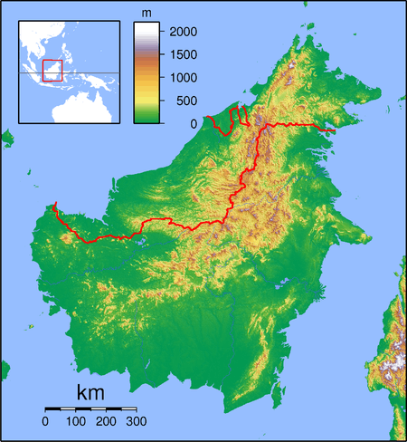
Long Laput (also known as Laput) is a settlement in the rural interior of the Marudi district of Sarawak, Malaysia.[1][2] It lies approximately 514.3 kilometres (320 mi) east-north-east of the state capital Kuching.
Description
Long Laput is one of the biggest villages along the Baram River and the majority of the inhabitants belong to the Kayan tribe.[3] The estimated population is 2000 people, most of whom live in longhouses.[4] In the late 1950s the main longhouse was reputed to be the longest in Borneo, being 700 metres in length.[5][6] The main source of income is agriculture, including rice, pepper, rubber and increasingly palm oil; one oil palm estate extends to 2500 acres.[7] Livestock include freshwater fish farming and cattle which graze the oil palm plantation.[8]
Development
The history of the village dates back at least to the 1920s, but a significant change started in 1950 with the arrival of the Borneo Evangelical Church, followed by Roman Catholics in 1956. Schools were built in 1956 and a health clinic was opened in the village. The longhouses were constructed from bamboo and thatched with leaves. Unfortunately, a 70-family longhouse was destroyed by fire in 1987. Longhouses are now constructed using bricks, and the village now has modern infrastructure,[9] including running water, electricity, sports facilities, a public library and public telephones.[10] The library also provides internet access, photocopying and scanning.[11] The school, Sekolah Kebangsaan Long Laput, provides education and accommodation for 192 students, with a teaching staff of twelve.[12]
Threats
If the Baram Bam hydroelectric project goes ahead, Long Laput will be one of the villages affected by the flooding of 389,000 hectares of jungle.[13]
Neighbouring settlements
Neighbouring settlements include:[2]
- Lirong Kawit 0.7 kilometres (0.4 mi) southeast
- Long Lama 4.7 kilometres (2.9 mi) northwest
- Batu Gading 7.7 kilometres (4.8 mi) north
- Long Puak 9.1 kilometres (5.7 mi) north
- Rumah Ingkot 12.7 kilometres (7.9 mi) west
- Long Banio 13.1 kilometres (8.1 mi) north
- Uma Bawang Kanan 14.1 kilometres (8.8 mi) south
- Uma Bawang Kiri 14.8 kilometres (9.2 mi) south
- Rumah Banyi 15 kilometres (9.3 mi) north
- Rumah Jelian 15.2 kilometres (9.4 mi) northwest
References
- ↑ M. Mohizah, S. Julia and W. K. Soh (2006). A Sarawak Gazetteer (PDF). Kuala Lumpur: Sarawak Forestry Department Malaysia and Forest Research Institute Malaysia. ISBN 983-2181-86-0. OCLC 85818866. Archived from the original (PDF) on 2011-07-22. Retrieved 2011-01-01.
- 1 2 "Long Laput, Malaysia". Geonames. 2010-08-03. Retrieved 2010-12-27.
- ↑ "Telang Usan: Long Laput, Middle Baram". 2011-01-03. Retrieved 2011-01-03.
- ↑ "Long Laput – Population". 2011-01-03. Retrieved 2011-01-03.
- ↑ Guy Arnold (1959). Longhouse and jungle: an expedition to Sarawak. Chatto and Windus. Retrieved 3 January 2011.
- ↑ Jérôme Rousseau (1990). Central Borneo: ethnic identity and social life in a stratified society. Clarendon Press. ISBN 978-0-19-827716-3. Retrieved 3 January 2011.
- ↑ "Long Laput – Socio-Economics". Retrieved 2011-01-03.
- ↑ "Long Laput – Livestock and Fisheries". Retrieved 2011-01-03.
- ↑ "Long Laput – History". Retrieved 2011-01-03.
- ↑ "Long Laput – Facilities". Retrieved 2011-01-03.
- ↑ "Long Laput – USP". Retrieved 2011-01-03.
- ↑ "Long Laput – Education". Retrieved 2011-01-03.
- ↑ Rania Paran (2010-11-04). "Keratan Akhbar Online" (PDF). Retrieved 2011-01-02.