Londonderry Island
| Native name: Isla Londonderry | |
|---|---|
 Londonderry Island | |
| Geography | |
| Coordinates | 55°04′00″S 69°26′00″W / 55.066667°S 69.433333°WCoordinates: 55°04′00″S 69°26′00″W / 55.066667°S 69.433333°W |
| Adjacent bodies of water | Pacific ocean |
| Area | 643 km2 (248 sq mi)[1] |
| Highest point | 1,548m[1] |
| Administration | |
| Region | Magallanes |
| Province | Antártica Chilena |
| Commune | Cabo de Hornos, Chile |
| Additional information | |
| NGA UFI=-889707 | |
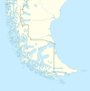
Londonderry Island (Spanish: Isla Londonderry) is an island (UFI -889706) in the Magallanes Region at the western end of the Beagle Channel and Darwin Sound. The island was named by the captain of HMS Beagle, Robert FitzRoy, whose maternal grandfather was The 1st Marquess of Londonderry, an Ulster-Scots peer.
The island is very irregularly shaped. It lies between Fitzroy Bay to the west and Bahía Cook to the east, and between the Pacific Ocean to the south and the Ballenero Channel and O'Brien Channel to the north. Nearby islands include Gilbert Island and Stewart Island to the northwest, O'Brien Island, Chile to the north, and Cook Island (or London Island) and Thompson Island to the east.
Londonderry Island and smaller nearby islands form an archipelago (UFI -889707) known as the Londonderry Islands (Spanish: Islas Londonderry).[2]
References
- 1 2 "Londonderry". UN System-wide Earthwatch. Retrieved 2011-10-19.
- ↑ Londonderry Islands at GEOnet Names Server