Llanveynoe
| Llanveynoe | |
|---|---|
.jpg) Church of St Beuno & St Peter, Llanveynoe | |
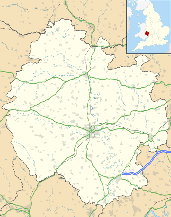 Llanveynoe Llanveynoe shown within Herefordshire | |
| Population | 102 [1] |
| OS grid reference | SO301314 |
| • London | 200 km |
| Civil parish |
|
| Unitary authority | |
| Ceremonial county | |
| Region | |
| Country | England |
| Sovereign state | United Kingdom |
| Post town | HEREFORD |
| Postcode district | HR2 |
| Dialling code | 01873 |
| Police | West Mercia |
| Fire | Hereford and Worcester |
| Ambulance | West Midlands |
| EU Parliament | West Midlands |
| UK Parliament | |
Llanveynoe (Welsh: Llanfeuno) is a village and civil parish in Herefordshire, England, near the Welsh border and the Brecon Beacons National Park, 14 miles (23 km) south west of Hereford.[2] The parish had a population of 104 in the 2001 UK Census[3] and shares the Longtown grouped parish council with Craswall, Longtown and Walterstone.[4]
The village is situated on a ridge of higher land between the Olchon Valley and the valley of the River Monnow.[2]
In the Herefordshire volume of The Buildings of England, Pevsner noted the beautiful setting and views from the church but regarded the building as being of little architectural interest following restoration in the 19th century.[5]
References
- ↑ "Civil Parish population 2011". Retrieved 30 October 2015.
- 1 2 Brecon Beacons National Park - Eastern Area (Explorer Maps) (A3 ed.), Ordnance Survey, 2010, ISBN 978-0-319-24054-0
- ↑ "Population of Herefordshire Parishes, 2001" (pdf). Herefordshire Council. 2004. Retrieved 2010-12-04.
- ↑ "List of Parish Councils and Contacts" (xls). Herefordshire Council. Retrieved 2010-12-04.
- ↑ Pevsner, Nikolaus (1963). The Buildings of England - Herefordshire. New Haven and London: Yale University Press. p. 240. ISBN 978-0-300-09609-5.
External links
| Wikimedia Commons has media related to Llanveynoe. |
This article is issued from
Wikipedia.
The text is licensed under Creative Commons - Attribution - Sharealike.
Additional terms may apply for the media files.