Lingay, Fiaray
| Gaelic name | Lingeigh |
|---|---|
| Meaning of name | heather island |
| Location | |
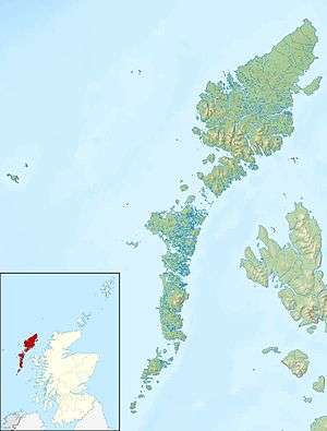 Lingay Lingay shown within the Outer Hebrides | |
| OS grid reference | NF750115 |
| Coordinates | 57°05′N 7°22′W / 57.08°N 7.36°W |
| Physical geography | |
| Island group | Uist and Barra |
| Area | ha |
| Highest elevation | 51 m |
| Administration | |
| Sovereign state | United Kingdom |
| Country | Scotland |
| Council area | Outer Hebrides |
| Demographics | |
| Population | 0 |
| References | [1][2][3] |
Lingay is an uninhabited Scottish island in the Sound of Barra in the Western Isles. It lies between South Uist, Eriskay, Fuday and Fiaray. Its maximum height is 51 metres.[4]
Footnotes
- ↑ 2001 UK Census per List of islands of Scotland
- ↑ Haswell-Smith, Hamish (2004). The Scottish Islands. Edinburgh: Canongate. ISBN 978-1-84195-454-7.
- ↑ Ordnance Survey
- ↑ "Overview of Lingay". Gazetteer for Scotland. Retrieved 2008-03-16.
Coordinates: 57°04′46″N 7°21′58″W / 57.07936°N 7.36609°W
This article is issued from
Wikipedia.
The text is licensed under Creative Commons - Attribution - Sharealike.
Additional terms may apply for the media files.