Fiaraidh
| Gaelic name |
|
|---|---|
| Meaning of name | 'grass' or 'pasture' island |
| Location | |
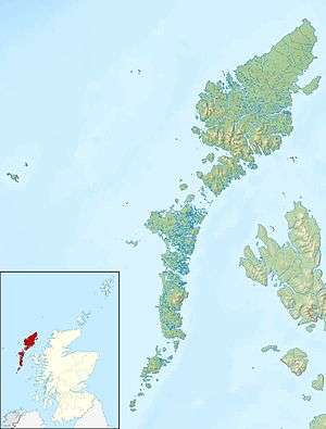 Fiaraidh Fiaraidh shown within the Outer Hebrides | |
| OS grid reference | NF702104 |
| Coordinates | 57°04′N 7°26′W / 57.07°N 7.44°W |
| Physical geography | |
| Island group | Uist and Barra |
| Area | 41 hectares (0.16 sq mi) |
| Area rank | 217= [1] |
| Highest elevation | 30 metres (98 ft) |
| Administration | |
| Sovereign state | United Kingdom |
| Country | Scotland |
| Council area | Outer Hebrides |
| Demographics | |
| Population | 0[2] |
| References | [3][4] |
Fiaraidh (OS; formerly anglicised as Fiaray; Scottish Gaelic: Fiaraigh) is one of the Outer Hebrides. It is 41 ha in size, and 30 metres at its highest point. It is relatively flat and featureless, and is used as a staging post by barnacle geese. The geology is Archaean gneiss.[3]

Western coastline of Fiaraigh
There are two lochans on the island, and it is surrounded by a large drying reef, which was said to be the abode of a fairy woman.[3]
Nearby Lingay is the subject of some folklore.
Footnotes
- ↑ Area and population ranks: there are c. 300 islands over 20 ha in extent and 93 permanently inhabited islands were listed in the 2011 census.
- ↑ National Records of Scotland (15 August 2013) (pdf) Statistical Bulletin: 2011 Census: First Results on Population and Household Estimates for Scotland - Release 1C (Part Two). "Appendix 2: Population and households on Scotland’s inhabited islands". Retrieved 17 August 2013.
- 1 2 3 Haswell-Smith, Hamish (2004). The Scottish Islands. Edinburgh: Canongate. ISBN 978-1-84195-454-7.
- ↑ Ordnance Survey. OS Maps Online (Map). 1:25,000. Leisure.
| Wikimedia Commons has media related to Fiaraigh. |
This article is issued from
Wikipedia.
The text is licensed under Creative Commons - Attribution - Sharealike.
Additional terms may apply for the media files.