Les Palmes
| Les Palmes | |
|---|---|
| Rural settlement | |
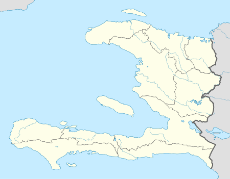 Les Palmes Location in Haiti | |
| Coordinates: 18°20′0″N 72°51′0″W / 18.33333°N 72.85000°W | |
| Country |
|
| Department | Ouest |
| Arrondissement | Léogâne |
| Population (7 August 2003)[1] | |
| • Total | 30,000 |
Les Palmes is a rural settlement in the Léogâne Arrondissement, in the Ouest department of Haiti.[2] There are more than 30,000 people living in the area.
History
The name of the town means "the palms" in English.
During the 2010 Haiti earthquake, over 50 deaths were reported. The church, built about 1949, collapsed. Few homes were left in an inhabitable state.[3][4]
Geography
The town is in a mountainous area, on several mountain tops and within their enclosed valleys.[5]
Education
The village has seven parochial schools run by Notre Dame parish, an elementary and a secondary school.[3] They are privately funded community schools operating with the approval of the Ministry of Education. They are under the guidance of the Roman Catholic Archdiocese of Port-au-Prince.
There are about 6,300 children living in the community.[6]
References
- ↑ Institut Haïtien de Statistique et d'Informatique (IHSI)
- ↑ "Département du Sud-Est". Haiticulture.ch. 2010-01-28.
- 1 2 "Church destroyed in Les Palmes, Haiti". 2010-01-28.
- ↑ Loafman, Mary Ann and Jim (5 February 2010). "Haiti Earthquake Report". indialantic, Florida: Hearts out to Haiti. p. 1.
- ↑ Daniele S. Lantagne (June 2001). "Trihalomethane Formation in Rural Household Water Filtration Systems in Haiti" (PDF). mit.edu.
- ↑ "Tragedy hits our three sister parishes in Haiti" (PDF). Indialantic, Florida: Holy Name of Jesus. 24 January 2010. p. 5.
Coordinates: 18°20′N 72°51′W / 18.333°N 72.850°W