Lemybrien
| Lemybrien Irish: Léim Uí Bhriain Leamybrien | |
|---|---|
| Village | |
 Lemybrien Location in Ireland | |
| Coordinates: 52°10′06″N 7°31′16″W / 52.168258°N 7.521199°WCoordinates: 52°10′06″N 7°31′16″W / 52.168258°N 7.521199°W | |
| Country |
|
| Province | Munster |
| County | Waterford |
| Population (2016)[1] | |
| • Total | 192 |
| Time zone | UTC+0 (WET) |
| • Summer (DST) | UTC-1 (IST (WEST)) |
Lemybrien (Irish: Léim Uí Bhriain, meaning "O'Brien's leap") is a small village on the N25 road, linking Cork to Waterford City, Ireland.[2] It lies in the foothills of the Comeragh mountains, a southern extension of the Comeragh Mountains, in an area of County Waterford known as "The Déise".
Sport
Stage 2 of the 1998 Tour de France passed through the area. Kilrossanty GAA sports club is based in Lemybrien.[3]
Archeology
Drumlohan Souterrain and Ogham Stones, a National Monument dating to the 5th–9th centuries AD, lies 4 km (2½ mi) to the east.
References
- ↑ "Sapmap Area: Settlements Lemybrien". Census 2016. Central Statistics Office. 2016.
- ↑ "Placenames Database of Ireland". Dublin City University. Retrieved 10 September 2015.
- ↑ "Kilrossanty GAA Club". Retrieved 9 January 2015.
Places in County Waterford | ||
|---|---|---|
| Towns | 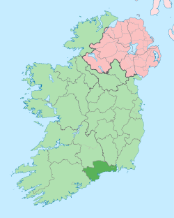 | |
| Villages and Townlands |
| |
| ||
This article is issued from
Wikipedia.
The text is licensed under Creative Commons - Attribution - Sharealike.
Additional terms may apply for the media files.