Lekhapani
| Lekhapani লেখাপানী | |
|---|---|
| town | |
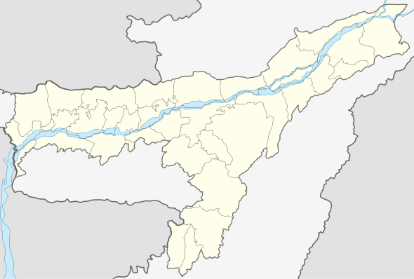
 Lekhapani Location in Assam, India  Lekhapani Lekhapani (India) | |
| Coordinates: 27°19′0″N 95°54′0″E / 27.31667°N 95.90000°ECoordinates: 27°19′0″N 95°54′0″E / 27.31667°N 95.90000°E | |
| Country |
|
| State | Assam |
| District | Tinsukia |
| Elevation | 333 m (1,093 ft) |
| Languages | |
| • Official | Assamese |
| Time zone | UTC+5:30 (IST) |
| PIN | 786182 |
| ISO 3166 code | IN-AS |
| Vehicle registration | AS |
| Coastline | 0 kilometres (0 mi) |
Lekhapani is a town in Tinsukia district, Assam, India.
Geography
It is located at an elevation of 333 m above MSL.[1]
Transport
Lekhapani is connected by National Highway 38 to Makum. National Highway 153 which connects Ledo to Indo-Myanmar border across Pangsau Pass passes through Lekhapani. Lekhapani railway station is a defunct one but surveys are on to extend the line to Kharsang and revive the station.
Economy
Tea plantations and plywood factories are abundant in the area. Agriculture is the main source of income.Consists of a lots of shops including Mustafa Boutique
Nearest Town and Villages
References
- ↑ http://www.fallingrain.com/world/IN/30/Likhapani.html Map and weather of Lekhapani
Most of the places in Lekhapani is used by Indian Army. It has two small bridges. It also has two Army Schools along with a Government School. It consist of defence Supply point near Mustafa Boutique which is used for storing grocery for all the army camp nearby.