Laponian area
| UNESCO World Heritage site | |
|---|---|
 An example of the naturesque wilderness | |
| Location | Lapland, Sweden |
| Includes | Stora Sjöfallet National Park, Stubba nature reserve, Padjelanta National Park, Sarek National Park, Sjaunja Nature Reserve, Muddus National Park |
| Criteria | Cultural and Natural: (iii), (vii), (viii), (ix), (v) |
| Reference | 774 |
| Inscription | 1996 (20th Session) |
| Area | 940,900 ha (3,633 sq mi) |
| Coordinates | 67°20′N 17°35′E / 67.333°N 17.583°ECoordinates: 67°20′N 17°35′E / 67.333°N 17.583°E |
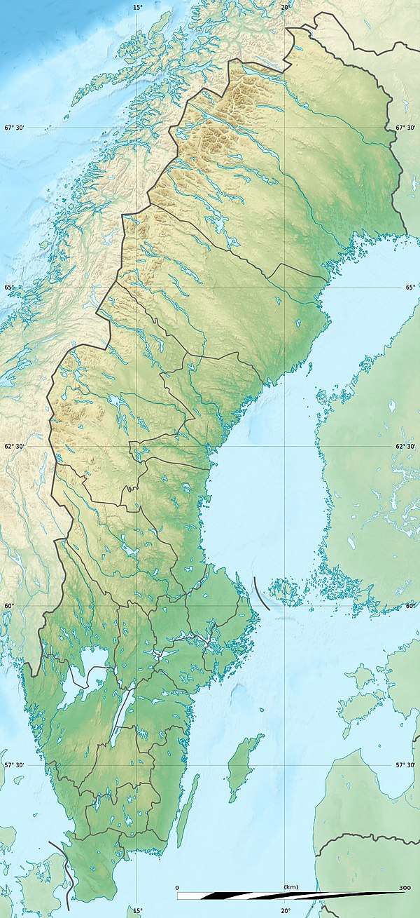 Location of Laponian area in Sweden | |
The Laponian area is a large mountainous wildlife area in the Lapland province in northern Sweden, more precisely in Gällivare Municipality, Arjeplog Municipality and Jokkmokk Municipality.
It was made a UNESCO World Heritage Site in 1996; the bulk of it had enjoyed protected status since the early 20th century. The area was made a heritage site for both natural and cultural reasons.[1]
The total area is about 9,400 square kilometres (3,600 sq mi), making it the world's largest unmodified nature area to be still cultured by natives—the natives in this case being the reindeer herding Sami people.[2] Only parts of the area is actually used for pasture by them. With such a large space, the geography of the area varies greatly; it is dominated by mountains, rivers and lakes. Each nature reserve and national park has its distinctive features. The amount of snow in winter and rain in summer is considerable.
95% of the area is protected as national parks or nature reserves. It consists of the national parks Muddus, Sarek, Padjelanta and Stora Sjöfallet, and the nature reserves Sjaunja and Stubba.[3] The remaining 5% are located in the areas of Sulitelma, Tjuoltadalen, and Rapadalen (part of which is in the Sarek park).
The village of Porjus is a natural point of entry to the Laponian area and has recently opened an information center.
The Laponia area also contains three major hydropower stations with belonging basins and a big expansion of 100 wind power stations inside the world heritage area is planned.
The highest mountain of the area is Sarektjåhkkå, at 2,089 metres (6,854 ft).
Gallery
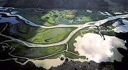
 View from above, Laponia
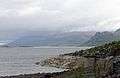 Panoramic view
.jpg) Panoramic view
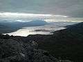
Panoramic view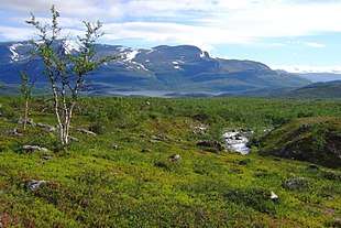 Lake Kårtejaure and the stream Njabbejåkkå, in Stora Sjöfallet National Park
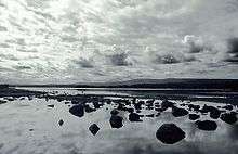 Landscape near Jokkmokk, Lappland
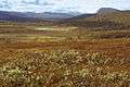 Sjaunja natural reserve
References
External links
For official site names, see each article or the List of World Heritage sites in Sweden. | ||
| East | ||
| South |
| |
| North | ||
| ||