Landmannahellir
| Landmannahellir | |
|---|---|
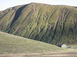 Moss covered land around Landmannahellir | |
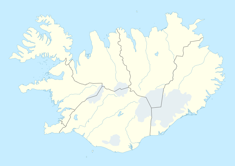 Location in Iceland | |
| Coordinates | 64°03′N 19°14′W / 64.050°N 19.233°W |
| Depth | 8 m |
| Length | 14 m |
| Website |
www |
Landmannahellir is a small cave at the foot of the Hellisfjall mountain middle of Suðurland (South Iceland) in the influence area of the volcano Hekla.[1]
Landmannahellir is 14 metres long, 8 m wide and has a 4 m ceiling. It used to be a shelter for farmers with their sheep. Today it serves tourism. A few huts were built near the cave.[2]
Next to Landmannahellir
- Löðmundur mountain in the north
- Löðmundarvatn lake in the east
- Landmannaleið trail
References
- ↑ "Landmannahellir a tourist service and accommodation center in the highlands of Iceland" (in German). Retrieved 2017-08-10.
- ↑ "LANDMANNAHELLIR" (in German). Retrieved 2017-08-10.
This article is issued from
Wikipedia.
The text is licensed under Creative Commons - Attribution - Sharealike.
Additional terms may apply for the media files.