Lake Lama
| Lake Lama | |
|---|---|
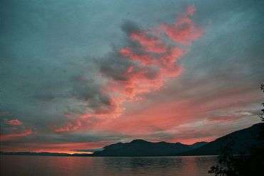
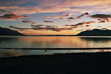
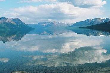
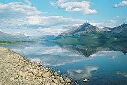 Panorama of the lake | |
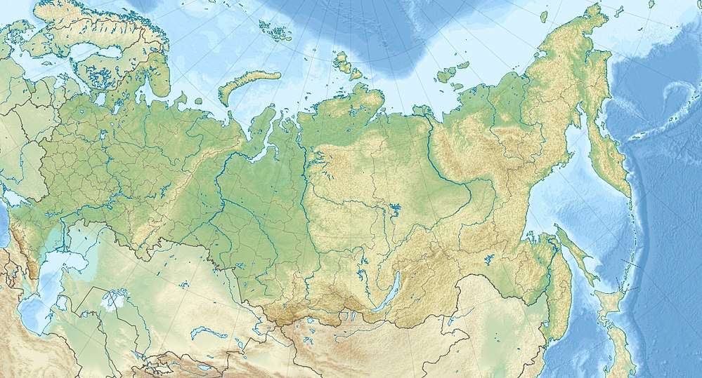 Lake Lama Location in Russia | |
| Location | Krasnoyarsk Krai |
| Coordinates | 69°31′02″N 90°37′30″E / 69.5172222°N 90.625°ECoordinates: 69°31′02″N 90°37′30″E / 69.5172222°N 90.625°E |
| Primary outflows | Lama |
| Basin countries | Russia |
| Surface area | 320 to 460 km2 (120 to 180 sq mi) |
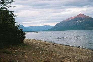
Lake Lama (Russian: Лама) is a large freshwater lake (of tectonic origin) in Krasnoyarsk Krai, north-central part of Russia.[1]
Geography
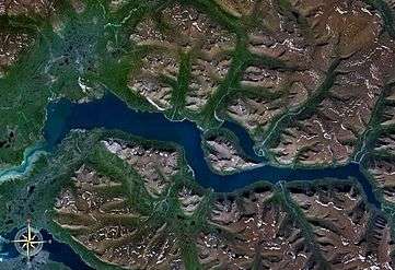
Lake Lama is located in the Putorana Plateau area at 69°31′02″N 90°37′30″E / 69.5172222°N 90.625°E, 140 km east off the city of Norilsk, and has an area of 318 km² (other sources state 460 km²). It is 80 km long and up to 8 km wide (other sources state length of 100 km and width of 20 km) with a depth ranging from 300 to 600 m. Lake Lama is connected with Lake Melkoye by the Lama River.[2]
The lake was surveyed and described for the first time by Russian scientist Nikolay Urvantsev and his colleague Bazanov during an expedition in 1921.
Origin of the name
The hydronym Lama comes from Tungusic word laamu where it mean sea, ocean, big water.
There was no lake named Lama on the map of Russian Asia published in 1911 by the Russian General staff. The lake was pictured very approximately and was named Davydovo.
|
See also
References
- ↑ "Ozero Lama". Mapcarta. Retrieved 3 May 2016.
- ↑ Bochkarev, B. "Lake Lama near Norilsk in Krasnoyarsk Krai, Russia", Siberian Wonders, 30 Aug 2011. Retrieved 23 Oct 2014.