Lake Austin (Australia)
| Lake Austin | |
|---|---|
.jpg) Lake Austin in autumn 2014 | |
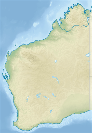 Lake Austin Location in Western Australia | |
| Location | Western Australia |
| Type | Salt lake |
| Catchment area | 13,750 km2 (5,310 sq mi) |
| Basin countries | Australia |
| Max. length | 80 km2 (31 sq mi) |
| Max. width | 40 km2 (15 sq mi) |
| Surface area | 0–770 km2 (0–297 sq mi) |
| Settlements | Austin |
Lake Austin is an ephemeral salt lake located in the Yilgarn region of Western Australia, between the towns of Cue and Mount Magnet.[1] It is named after Robert Austin, who explored the area around the lake in 1854.[2] The abandoned town of Austin is located on an island in the lake.[2] The Great Northern Highway passes through this island as it crosses the lake.
Lake Austin is an evaporation basin for an arheic internal drainage system covering an area of 13,750 square kilometres (5,310 sq mi). The lake itself lies in a basin covering 770 square kilometres (300 sq mi), or 440 square kilometres (170 sq mi) excluding the many islands. It is about 80 kilometres (50 mi) long and 10–40 kilometres (6.2–24.9 mi) wide. The lake usually fills in response to heavy rainfall in the summer and fall; anecdotally, this occurs twice about every ten years. Water salinity varies according to lake levels: recorded values have ranged from 44.8 mS/cm during a flooding event in 2000, to 164 mS/cm in the late 1970s.[1] The lake bed is flat, variably crusted with salt, and devoid of vegetation.[3] It is surrounded by a salt marsh dominated by the samphire species Tecticornia fimbrata, Tecticornia halocnemoides and Tecticornia pruinosa.[1]
The main land uses around Lake Austin are mining and pastoralism.[1] A large deposit of gypsum sand is located on the edge of the lake.[4] From 1999 to 2002, hypersaline groundwater from the Cuddingwarra gold mine was discharged into Lake Austin.[3] The Austin Downs pastoral station covers part of the lake. Sheep are grazed in the area and feral goats and donkeys are abundant.[1]
References
- 1 2 3 4 5 Vellekoop, Simone (2002). "2.1: Study Area". The fringing halophytic vegetation of Lake Austin: a study of mining impacts and vegetation dynamics (Hons.). Edith Cowan University. Retrieved 11 April 2017.
- 1 2 "Town names". Government of Western Australia. Archived from the original on 23 March 2015. Retrieved 11 April 2017.
- 1 2 van Etten, Eddie J. B.; Vellekoop, Simone E. (2009). "Response of fringing vegetation to flooding and discharge of hypersaline water at Lake Austin, Western Australia". Hydrobiologia. 626: 67–77. doi:10.1007/s10750-009-9737-5.
- ↑ Official Year Book of the Commonwealth of Australia. Melbourne: Commonwealth Bureau of Census and Statistics. 1922. p. 368. Retrieved 11 April 2017.
Coordinates: 27°37′24″S 117°54′48″E / 27.62333°S 117.91333°E