La Unión, Cienfuegos
| La Unión | |
|---|---|
| Village | |
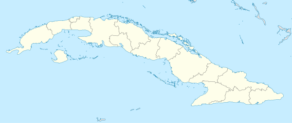 Location of La Unión in Cuba | |
| Coordinates: 22°16′59.16″N 80°29′16.08″W / 22.2831000°N 80.4878000°WCoordinates: 22°16′59.16″N 80°29′16.08″W / 22.2831000°N 80.4878000°W | |
| Country |
|
| Province | Cienfuegos |
| Municipality | Rodas |
| Elevation[1] | 57 m (187 ft) |
| Time zone | UTC-5 (EST) |
| Area code(s) | +53-432 |
La Unión is a Cuban village in Cienfuegos Province. It is part of the municipality of Rodas.
Geography
The little village is located between the nearby villages Limones and Ariza, crossed by the state highway "Circuito Sur". It is 10 km far from Rodas and 16 from Cienfuegos.[1]
References
This article is issued from
Wikipedia.
The text is licensed under Creative Commons - Attribution - Sharealike.
Additional terms may apply for the media files.