Kyrkjenuten
| Kyrkjenuten | |
|---|---|
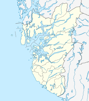 Kyrkjenuten Location in Rogaland | |
| Highest point | |
| Elevation | 1,602 m (5,256 ft) |
| Prominence | 535 m (1,755 ft) |
| Isolation | 20.6 km (12.8 mi) |
| Coordinates | 59°47′40″N 06°32′58″E / 59.79444°N 6.54944°ECoordinates: 59°47′40″N 06°32′58″E / 59.79444°N 6.54944°E |
| Geography | |
| Location | Rogaland, Norway |
| Parent range | Ryfylkesheiane |
Kyrkjenuten is a mountain in the municipality of Sauda in Rogaland county, Norway. The 1,602-metre (5,256 ft) tall mountain is the highest mountain in Sauda and also the 7th highest mountain in the county. It is located in northeastern Sauda, about 12 kilometres (7.5 mi) north of the village of Hellandsbygda and about the same distance southeast of the village of Fjæra in Etne municipality to the north of the mountain, just over the county border with Hordaland.[1][2]
References
- ↑ Lauritzen, Per Roger, ed. (2009). "Kyrkjenuten". Norsk Fjelleksikon (in Norwegian). Arendal: Friluftsforlaget. p. 203. ISBN 978-82-91-49547-7.
- ↑ Godal, Anne Marit (ed.). "Kyrkjenuten". Store norske leksikon (in Norwegian). Norsk nettleksikon. Retrieved 15 May 2013.
This article is issued from
Wikipedia.
The text is licensed under Creative Commons - Attribution - Sharealike.
Additional terms may apply for the media files.