Kvemo Azhara
| Kvemo Azhara ქვემო აჟარა | |
|---|---|
| Village | |
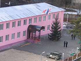 The headquarters of the Government of the Autonomous Republic of Abkhazia in 2007 | |
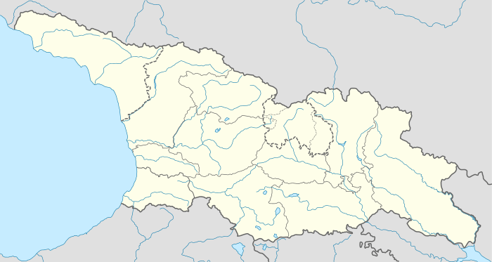 Kvemo Azhara Location of Kvemo Azhara in Georgia 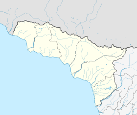 Kvemo Azhara Kvemo Azhara (Abkhazia) | |
| Coordinates: 43°06′26.0″N 41°44′09.7″E / 43.107222°N 41.736028°ECoordinates: 43°06′26.0″N 41°44′09.7″E / 43.107222°N 41.736028°E | |
| Country |
|
| Mkhare | Autonomous Republic of Abkhazia |
| Elevation | 560 m (1,840 ft) |
| Population (2002) | |
| • Total | 48 |
| Time zone | UTC+4 (Georgian Time) |
Kvemo Azhara (Georgian: ქვემო აჟარა) is a village in the upper part of the Kodori Valley, situated in Gulripshi District, Abkhazia,[1] a breakaway republic from Georgia.
History
Prior to August 2008, Kvemo Azhara was part of 'Upper Abkhazia', the only part of Abkhazia controlled by the Georgian government. The village was home to the headquarters of Government of the Autonomous Republic of Abkhazia, recognised by Georgia as the only legitimate government of Abkhazia. The village and the surrounding area were undergoing a major rehabilitation program. During the August 2008 war in South Ossetia, Abkhazian forces gained control of Chkhalta and the rest of Upper Abkhazia. [2] Most of Chkalta's inhabitants fled the advancing troops and have yet to return.
Notes and References
- 1 2 Abkhazia is the subject of a territorial dispute between the Republic of Abkhazia and the Republic of Georgia. The Republic of Abkhazia unilaterally declared independence on 23 July 1992, but Georgia continues to claim it as part of its own sovereign territory. Abkhazia has received formal recognition as an independent state from 7 out of 193 United Nations member states, 2 of which have subsequently withdrawn their recognition.
- ↑ http://news.trendaz.com/index.shtml?show=news&newsid=1268173&lang=EN
See also