Kurravaara
| Kurravaara | |
|---|---|
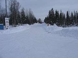 Kurravaara in March 2008 | |
 Kurravaara 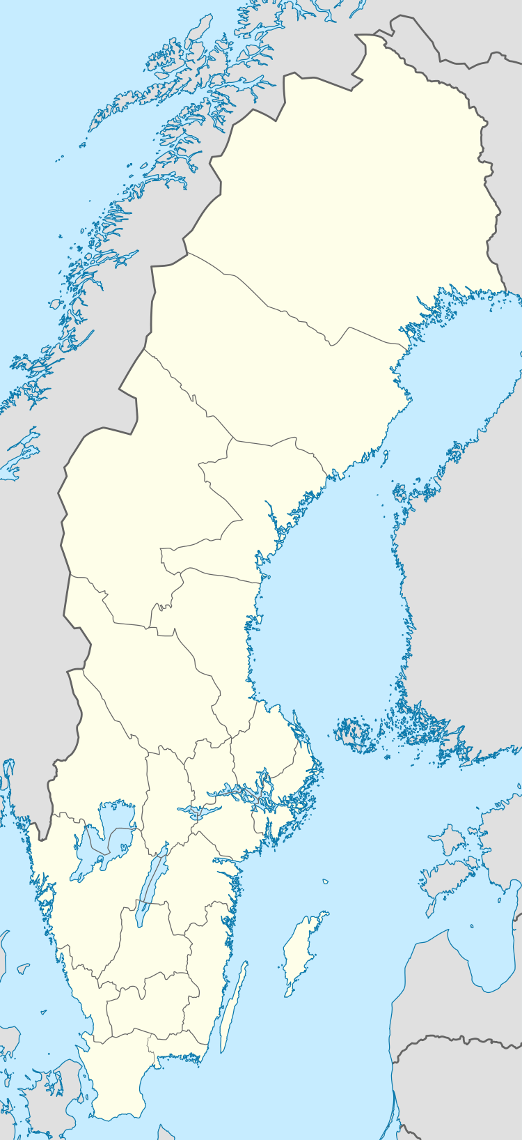 Kurravaara | |
| Coordinates: 67°57′N 20°21′E / 67.950°N 20.350°ECoordinates: 67°57′N 20°21′E / 67.950°N 20.350°E | |
| Country | Sweden |
| Province | Lapland |
| County | Norrbotten County |
| Municipality | Kiruna Municipality |
| Area[1] | |
| • Total | 0.15 km2 (0.06 sq mi) |
| Elevation | 340 m (1,120 ft) |
| Population (2005-12-31)[1] | |
| • Total | 57 |
| • Density | 393/km2 (1,020/sq mi) |
| Time zone | UTC+1 (CET) |
| • Summer (DST) | UTC+2 (CEST) |
| Website | www.kurravaara.com |
Kurravaara (Northern Sami: Gurravárri) is a village 12 km north of Kiruna in Kiruna Municipality, Norrbotten County, Sweden with 57 inhabitants in 2005.[1]
It is the first (highest upstream) village on the Torne River near lake Kallojärvi at 322 meter and is also close to the Rautas River.
Near the end of the 17th century, copper was found in Shangeli and a foundry was placed at what was to become Kurravaara. It is now a popular place for people who want to live close to nature but also close to Kiruna.[2]
References
- 1 2 3 "Småorternas landareal, folkmängd och invånare per km2 2000 och 2005" (xls) (in Swedish). Statistics Sweden. Retrieved 2009-05-28.
- ↑ Villages surrounding Kiruna Archived 2008-05-24 at the Wayback Machine.
This article is issued from
Wikipedia.
The text is licensed under Creative Commons - Attribution - Sharealike.
Additional terms may apply for the media files.