Kurinbi (Haa Dhaalu Atoll)
| Kurinbi | |
|---|---|
| Inhabited island | |
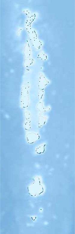 Kurinbi Location in Maldives | |
| Coordinates: 06°40′00″N 72°59′44″E / 6.66667°N 72.99556°ECoordinates: 06°40′00″N 72°59′44″E / 6.66667°N 72.99556°E | |
| Country | Maldives |
| Geographic atoll | Thiladhummathi Atoll |
| Administrative atoll | Haa Dhaalu Atoll |
| Distance to Malé | 281.32 km (174.80 mi) |
| Dimensions | |
| • Length | 0.800 km (0.497 mi) |
| • Width | 0.540 km (0.336 mi) |
| Population (2014)[1] | |
| • Total | 463 (including foreigners) |
| Time zone | UTC+05:00 (MST) |
Kurinbi (Dhivehi: ކުރިނބީ) is one of the inhabited islands of Haa Dhaalu Atoll administrative division and geographically part of Thiladhummathi Atoll in the north of the Maldives.
History
The island was severely damaged by the great cyclone of 1821 that hit the northern atolls of the Maldives.
Geography
The island is 281.32 km (175 mi; 152 nmi) north of the country's capital, Malé.[2]
Demography
| Historical population | ||
|---|---|---|
| Year | Pop. | ±% |
| 2006 | 430 | — |
| 2014 | 448 | +4.2% |
| 2006-2014: Census populations Source: [3] | ||
References
- ↑ Listed as Kuribi at "Table PP5: Resident Population by sex, nationality and locality (administrative islands), 2014" (PDF). Population and Households Census 2014. National Bureau of Statistics. p. 33. Retrieved 10 August 2018.
- ↑ "Coordinate Distance Calculator". Boulter.com. Retrieved 10 August 2018.
- ↑ Listed as Kurnibi at "Table 3.3: Total Maldivian Population by Islands" (PDF). National Bureau of Statistics. Retrieved 10 August 2018.
External links
- Images gallery (dead link)
This article is issued from
Wikipedia.
The text is licensed under Creative Commons - Attribution - Sharealike.
Additional terms may apply for the media files.