Kungur Ice Cave
| Kungur Ice Cave | |
|---|---|
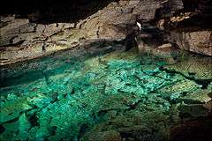
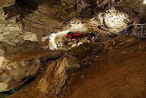 A grotto in Kungur Ice Cave | |
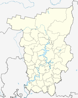 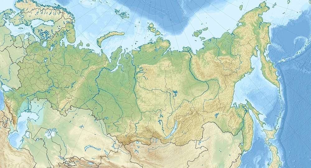 | |
| Location | Kungur, Perm Krai, Russia |
| Nearest city | Kungur |
| Coordinates | 57°26′27″N 57°00′21″E / 57.4409°N 57.0059°ECoordinates: 57°26′27″N 57°00′21″E / 57.4409°N 57.0059°E |
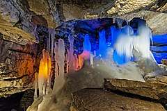
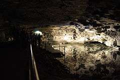
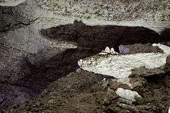
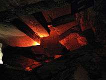
Kungur Ice Cave is a karst cave located in the Urals, near the town Kungur in Perm Krai, Russia,[1] on the right bank of the Sylva River. The cave is famous for its ice formations and is a popular tourist landmark.
History & archaeology
Kungur Ice Cave has been known since 1703 when Peter the Great issued the decree sending a well-known geographer S.U. Remezov from Tobolsk in Kungur. He worked out the Uyezd plan and made the first sketch of the cave.
The cave has been an excursion site since 1914 and it is equipped with three tour routes with different length:
- The examination of a large excursion ring (classic route) covers 1.5 km and takes around 1 hour and 20 min
- The second is 1.8 km and takes 1 hour 40 min
- The third is the biggest, 2 km and around 1.5 hour. On this tour, there is a laser show and the route is more difficult.
One hundred thousand people come each year and over five million people have been to the cave since it opened.
In the eastern part of “IceThe Mountain“ there are two sites of ancient settlement from the 7th-9th centuries, relating to Lomovatov culture. Yermakov’s site of ancient settlement has been known since the 19th century
Myth and stories
Inside the cave there is a set of narrow stone steps called “the female tears”. The name comes from the fact that a long time ago a foreign princess tripped and fell on them. After she returned home she got married. Now they say that if a lady falls down on these steps she will get married soon.
Gallery

References
External links
| Wikimedia Commons has media related to Cave Kungurskaya. |