Kruta Balka, Yasynuvata Raion
| Kruta Balka Крута Балка | |
|---|---|
 Kruta Balka Location of Kruta Balka within Ukraine  Kruta Balka Kruta Balka (Ukraine) | |
| Coordinates: 48°8′36″N 37°49′32″E / 48.14333°N 37.82556°ECoordinates: 48°8′36″N 37°49′32″E / 48.14333°N 37.82556°E | |
| Country | Ukraine |
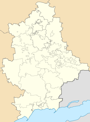
| Province | Donetsk Oblast |
| District | Yasynuvata Raion |
| Elevation | 209 m (686 ft) |
| Population (2001 census) | |
| • Total | 305 |
| Time zone | UTC+2 (EET) |
| • Summer (DST) | UTC+3 (EEST) |
| Postal code | 86005 |
| Area code | +380 6236 |
Kruta Balka (Ukrainian: Крута Балка; Russian: Крутая Балка) is a settlement in Yasynuvata Raion (district) in Donetsk Oblast of eastern Ukraine, at 17.2 km NNE from the centre of Donetsk city.
The settlement was taken under control of pro-Russian forces during the War in Donbass, that started in mid-April 2014.[1][2]
Demographics
Native language as of the Ukrainian Census of 2001:[3]
- Ukrainian 9.51%
- Russian 90.49%
References
- ↑ "Latest from OSCE Special Monitoring Mission (SMM) to Ukraine, based on information received as of 19:30, 19 October 2016". OSCE. 20 October 2016. Retrieved 21 October 2016.
- ↑ "Latest from the OSCE Special Monitoring Mission to Ukraine (SMM), based on information received as of 19:30, 27 April 2018". Kyiv: OSCE. 28 April 2018. Retrieved 2 June 2018.
- ↑ Розподіл населення за рідною мовою на ukrcensus.gov.ua Archived 31 July 2014 at the Wayback Machine.
This article is issued from
Wikipedia.
The text is licensed under Creative Commons - Attribution - Sharealike.
Additional terms may apply for the media files.