Krivina Bay
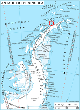
Location of Trinity Island in the Antarctic Peninsula region.
Krivina Bay (Bulgarian: залив Кривина, ‘Zaliv Krivina’ \'za-liv 'kri-vi-na\) is a 5 km wide bay indenting for 3 km the west coast of Trinity Island in the Palmer Archipelago, Antarctica. Entered north of Romero Point. The three rocky islands of Imelin, Dink and Rogulyat lye in the north part of the bay.
The bay is named after the settlement of Krivina in western Bulgaria.
Location
Krivina Bay is located at 63°49′10″S 60°47′45″W / 63.81944°S 60.79583°WCoordinates: 63°49′10″S 60°47′45″W / 63.81944°S 60.79583°W. British mapping in 1978.
Maps
- British Antarctic Territory. Scale 1:200000 topographic map. DOS 610 Series, Sheet W 63 60. Directorate of Overseas Surveys, UK, 1978.
- Antarctic Digital Database (ADD). Scale 1:250000 topographic map of Antarctica. Scientific Committee on Antarctic Research (SCAR). Since 1993, regularly upgraded and updated.
References
- Krivina Bay. SCAR Composite Gazetteer of Antarctica.
- Bulgarian Antarctic Gazetteer. Antarctic Place-names Commission. (details in Bulgarian, basic data in English)
This article includes information from the Antarctic Place-names Commission of Bulgaria which is used with permission.
This article is issued from
Wikipedia.
The text is licensed under Creative Commons - Attribution - Sharealike.
Additional terms may apply for the media files.