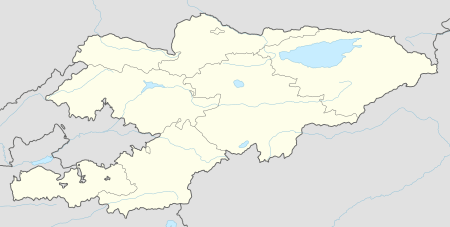
Krasnaya Rechka, Kyrgyzstan
| Krasnaya Rechka Красная Речка | |
|---|---|
 Krasnaya Rechka | |
| Coordinates: 42°54′0″N 74°57′36″E / 42.90000°N 74.96000°ECoordinates: 42°54′0″N 74°57′36″E / 42.90000°N 74.96000°E | |
| Country | Kyrgyzstan |
| Region | Chuy Region |
| District | Ysyk-Ata District |
| Elevation | 737 m (2,418 ft) |
| Population (2009) | |
| • Total | 7,274 |
Krasnaya Rechka ('Red River') is a village in the Chuy Region of Kyrgyzstan 8 km east of Kant. Its population was 7,274 in 2009.[1] Nearby is the ruined Sogdian silk road settlement of Navekat ('new town'). It was active between the 6th and 12th centuries and was the largest town in the valley at the time. Buddhist, Nestorian, Manichaean, Chinese and Sanskrit remains have been found. There is little visible on the surface.
References
- ↑ "2009 population census of the Kyrgyz Republic: Chuy Region" (PDF). Archived from the original (PDF) on 10 August 2011. Retrieved 2010-03-12.
- Laurence Mitchell, 'Kyrgyzstan', Bradt Travel Guides, 2008
This article is issued from
Wikipedia.
The text is licensed under Creative Commons - Attribution - Sharealike.
Additional terms may apply for the media files.