Koulamoutou Airport
| Koulamoutou Airport (Koula Moutou Airport) | |||||||||||
|---|---|---|---|---|---|---|---|---|---|---|---|
| Summary | |||||||||||
| Airport type | Public | ||||||||||
| Location | Koulamoutou, Gabon | ||||||||||
| Elevation AMSL | 1,070 ft / 326 m | ||||||||||
| Coordinates | 01°11′04″S 012°26′28″E / 1.18444°S 12.44111°E | ||||||||||
| Map | |||||||||||
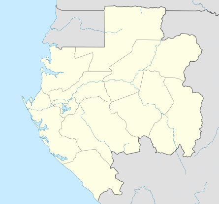 KOU Location of Koulamoutou Airport in Gabon | |||||||||||
| Runways | |||||||||||
| |||||||||||
Koulamoutou Airport or Koula Moutou Airport (IATA: KOU, ICAO: FOGK) is an airport serving Koulamoutou, the capital of the Ogooué-Lolo Province in central Gabon.
The Koulamoutou non-directional beacon (Ident:KL) is located just north of the runway.[4]
Facilities
The airport resides at an elevation of 1,070 feet (326 m) above mean sea level. It has one runway designated 15/33 with an asphalt surface measuring 1,780 by 45 metres (5,840 ft × 148 ft).[1]
See also


- List of airports in Gabon
- Transport in Gabon
References
- 1 2 Airport information for FOGK from DAFIF (effective October 2006)
- ↑ Airport information for KOU at Great Circle Mapper. Source: DAFIF (effective October 2006).
- ↑ Google Maps - Koulamoutou
- ↑ "SkyVector: Flight Planning / Aeronautical Charts". skyvector.com. Retrieved 2018-08-20.
External links
This article is issued from
Wikipedia.
The text is licensed under Creative Commons - Attribution - Sharealike.
Additional terms may apply for the media files.