Kopnück
| Kopnück | |
|---|---|
 Kopnück | |
| Highest point | |
| Elevation | 514.4 m above sea level (NHN) (1,688 ft) |
| Coordinates | 50°30′00″N 06°48′00″E / 50.50000°N 6.80000°ECoordinates: 50°30′00″N 06°48′00″E / 50.50000°N 6.80000°E [1] |
| Geography | |
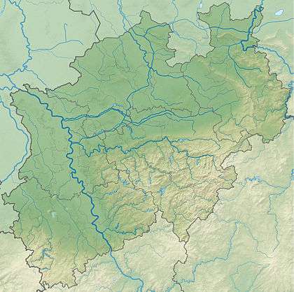
| Location | near Kop Nück; Euskirchen, North Rhine-Westphalia, Germany |
| Parent range | Eifel |
| Geology | |
| Mountain type | Hill |
The Kopnück is a hill, 514.4 m above sea level (NHN),[1] in the northern Ahr Hills, a region within the Eifel Mountains in Germany. It rises near the village of Kop Nück in the borough of Bad Münstereifel in the German state of North Rhine-Westphalia.
References
This article is issued from
Wikipedia.
The text is licensed under Creative Commons - Attribution - Sharealike.
Additional terms may apply for the media files.