Kopanica, Saraj
| Kopanica Копаница Kopanicë | |
|---|---|
| Village | |
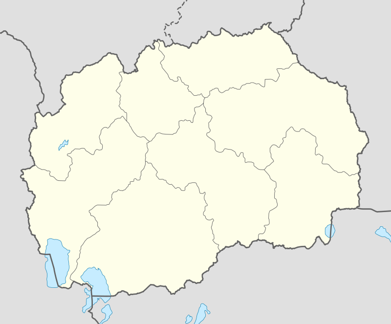 Kopanica Location within Republic of Macedonia | |
| Coordinates: 42°00′25″N 21°14′15″E / 42.00694°N 21.23750°ECoordinates: 42°00′25″N 21°14′15″E / 42.00694°N 21.23750°E | |
| Country | Republic of Macedonia |
| Municipality | Saraj municipality |
| Statistical region | Skopje Statistical Region |
| Population (2002) | |
| • Total | 1,714 |
| Time zone | UTC+1 (CET) |
| • Summer (DST) | UTC+2 (CEST) |
| Car plates | SK |
| Website | . |
Kopanica (Macedonian: Копаница, Albanian: Kopanicë) is a village in the municipality of Saraj, Republic of Macedonia.
Geography
The village is in middle of Zeden Mountain and Ljubin hills,the elevation changes between 400 to 500 a.s.l. the climate is continental with cold(sometimes very cold like in January 2017 where temperatures are below -20) and wet(snow and rain) in winter and very hot and dry in summer.
The village is separated in two part,one is in slopes of Ljubin hills and one in Zeden slopes, but the Ljubin hills are most richest than the Zeden Mountain because in Ljubin hills is richest for forests and wet lands in the other side Zeden mountain has dry and non forested lands with rocky areas. The Ljubin hills however are low elevated hills between 300-600 (the low is in Vardar river and the high in Ljubin head) meters a.s.l. in the other side Zeden Mountain is between 300-1264 (the lowest peak is in Vardar river and the highest peak Big Stone) meters a.s.l.
Demographics
According to the 2002 census, the village had a total of 1714 inhabitants.[1] Ethnic groups in the village include:[1]
- Albanians 1710
- Macedonians 1
- Others 3
References
- 1 2 Macedonian Census (2002), Book 5 - Total population according to the Ethnic Affiliation, Mother Tongue and Religion, The State Statistical Office, Skopje, 2002, p. 170.
External links
| Wikimedia Commons has media related to Kopanica, Saraj. |