Kolonjë (municipality)
| Kolonjë | ||
|---|---|---|
| Municipality | ||
| ||
 Kolonjë | ||
| Coordinates: 40°18′N 20°38′E / 40.300°N 20.633°E | ||
| Country |
| |
| County |
| |
| Government | ||
| • Mayor | Ilia Stefo (LSI) | |
| Area | ||
| • Municipality | 846.06 km2 (326.67 sq mi) | |
| Population (2011) | ||
| • Municipality | 11,070 | |
| • Municipality density | 13/km2 (34/sq mi) | |
| Demonym(s) | Kolonjar/e | |
| Time zone | UTC+1 (CET) | |
| • Summer (DST) | UTC+2 (CEST) | |
| Postal Code | 7401 | |
| Area Code | (0)812 | |
| Vehicle registration | AL | |
| Website | Official Website | |

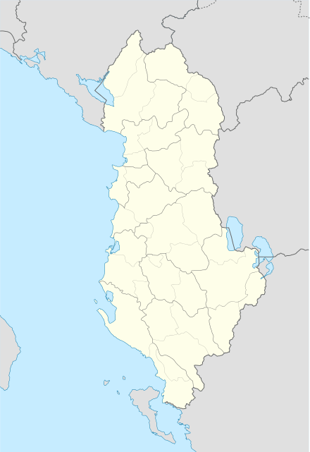
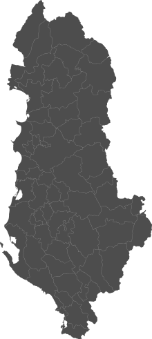
Kolonjë is a municipality in Korçë County, southeastern Albania. It was created in 2015 by the merger of the former municipalities Barmash, Çlirim, Ersekë, Leskovik, Mollas, Novoselë, Qendër Ersekë and Qendër Leskovik. The seat of the municipality is the town Ersekë.[1] The total population is 11,070 (2011 census), in a total area of 846.06 km2.[2] It is coterminous with the former Kolonjë District, and an Albanian ethnographic region with mostly the same borders and also the same name (which may or may not include the area around Leskovik due to competing definitions).
Location
Kolonjë is located in south-east Albania and its capital is Ersekë. Other towns in this district include Leskovik to the south. It is bounded by Korçë to the north and Greece to the east, including the regional units of Kastoria and Ioannina. The town of Ersekë is located at the foot of mount Gramos, Albania's fourth-highest mountain with a peak at 2,525 m above sea level.
History
In ancient times, the Kolonja mountain range was inhabited by the Dassaretae, a Greek tribe that belonged to the Chaonian group.[3]
During the Middle Ages a region under the name Koloneia is located in the mountain region south of Korce (southeast Albania) and north of Konitsa and Kastoria (northwestern Greece) at the west slopes of Grammos mountain range.[4] A Byzantine military garrison under the same name was built west of Grammos.[5][6]
According to the account of John Skylitzes, in c. 1018, after the Byzantine conquest of Bulgaria, emperor Basil II created new themes at Koloneia (Κολώνεια), Dryinopolis, and Dyrrhachium, and settled former Byzantine prisoners of war to secure the Byzantine positions in Epirus against future enemy attacks from central and western Macedonia.[7][8] At 1040s the theme of Koloneia was incorporated to the Duchy of Dyrrachion.[5] After the Sack of Constantinople at 1204 and the following partition of the Byzantine Empire Koloneia was granded to the Republic of Venice.[6] However, Koloneia came under the control of the Despotate of Epirus and formed one of the themes of the Despotate. Following the Battle of Pelagonia in 1259 Koloneia was ceded to the Empire of Nicaea.[9]
Prior to the 14th century Albanian migrations the area was inhabited by Aromanians. One of the two main waves of Albanian movements coming from the north reached Kolonjë, as well as nearby Dangëllia.[10]
Villages, communities and settlements
- Starje
- Barmash
- Bezhan
- Blush
- Borovë
- Butkë
- Gjonc
- Gërmenj
- Gostivisht
- Helmës
- Kabash
- Kagjinas
- Kaltanj
- Kamnik
- Kodras
- Kozel
- Kreshovë
- Kurtes
- Lashovë
- Leshnjë
- Lëngëz
- Lënckë
- Luaras
- Mesicke
- Milec
- Mollas
- Novoselë
- Orgockë
- Piskal
- Poda
- Postenan
- Prodan
- Psarr i Zi
- Qafzes
- Qesarakë
- Qinam Radovickë
- Qinam
- Qytezë
- Radimisht
- Radanj
- Rehovë
- Selenicë e Pishës
- Shalës
- Shtikë
- Shën Mërtir
- Taç
- Vodicë
- Vrepckë
- Kurtës
References
- ↑ Law nr. 115/2014 Archived 2015-09-24 at the Wayback Machine.
- ↑ Interactive map administrative territorial reform
- ↑ Smith, William (2006). A New Classical Dictionary of Greek and Roman Biography, Mythology and Geography. Whitefish, MT, USA: Kessinger Publishing, LLC, page 423.
- ↑ Theocharidēs, Geōrgios Iōannou (1980). History of Macedonia during the Middle Ages (285-1354) (in Greek). Hetaireia Makedonikōn Spoudōn. p. 307.
Κολώνια ωνομάσθη η περιοχή των υψωμάτων νοτίως της Κορυτσάς και μεταξύ Κορυτσάς και Κονίτσης εις τους δυτικούς πρόποδας του Γράμμου, της οποίας το σπουδαιότερον κέντρον είναι σήμερον η Ερσέκα της Αλβανίας.
- 1 2 Strässle, Paul Meinrad (2006). Krieg und Kriegführung in Byzanz: die Kriege Kaiser Basileios' II. gegen die Bulgaren (976-1019) (in German). Böhlau Verlag Köln Weimar. p. 174. ISBN 9783412174057.
- 1 2 McKitterick, Rosamond; Abulafia, David (1995). The New Cambridge Medieval History: Volume 5, C.1198-c.1300. Cambridge University Press. p. 781. ISBN 9780521362894.
- ↑ Soustal & Koder 1981, p. 55.
- ↑ Prinzing, G. (1997). Byzantine Epirus: Political, Social and Economic Developments (in Epirus 4000 years of Greek History and Civilization). Athens: Ekdotike Athenon. p. 191. ISBN 9789602133712.
- ↑ Krumbacher, Karl (1956). Byzantinische Zeitschrift (in German). C. H. Beck'sche Verlagsbuchhandlung. p. 101.
- ↑ Hammond, Nicholas Geoffrey Lemprière (1967). Epirus: the geography, the ancient remains, the history and topography of Epirus and adjacent areas. Clarendon P. p. 27.
One wave has filled Danglli and Kolonje (pronounced Colonia, probably a Vlach word, dating from the time when the area was occupied only by Vlachs).
Sources
- Soustal, Peter; Koder, Johannes (1981). Tabula Imperii Byzantini, Band 3: Nikopolis und Kephallēnia (in German). Vienna: Verlag der Österreichischen Akademie der Wissenschaften. ISBN 3-7001-0399-9.
Municipalities in Albania are administrative divisions made up of local administrative units and their inclusive villages. | ||
| (61) |
|  |
Administrative Divisions of Korçë County | ||
|---|---|---|
County Seat: Korçë | ||
| Municipality of Devoll |  | |
| Municipality of Kolonjë | ||
| Municipality of Korçë | ||
| Municipality of Maliq | ||
| Municipality of Pogradec | ||
| Municipality of Pustec | ||
Subdivisions of Kolonjë Municipality | ||
|---|---|---|
Municipal Seat: Ersekë | ||
| Administrative Unit of Barmash |  | |
| Administrative Unit of Çlirim | ||
| Administrative Unit of Ersekë | ||
| Administrative Unit of Leskovik | ||
| Administrative Unit of Mollas | ||
| Administrative Unit of Novoselë |
| |
| Administrative Unit of Qendër Ersekë | ||
| Administrative Unit of Qendër Leskovik | ||