Kohatu, Rapla County
| Kohatu | |
|---|---|
| Village | |
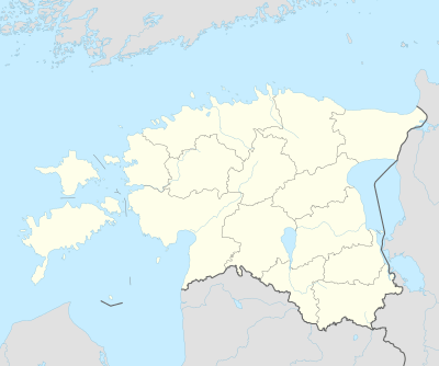 Kohatu Location in Estonia | |
| Coordinates: 58°57′55″N 24°17′02″E / 58.96528°N 24.28389°ECoordinates: 58°57′55″N 24°17′02″E / 58.96528°N 24.28389°E | |
| Country |
|
| County | Rapla County |
| Parish | Märjamaa Parish |
| Time zone | UTC+2 (EET) |
| • Summer (DST) | UTC+3 (EEST) |
Kohatu (German: Kohhat) is a village in Märjamaa Parish, Rapla County in western Estonia.[1][2]
Notes
- ↑ Kohatu (Approved) at GEOnet Names Server, United States National Geospatial-Intelligence Agency
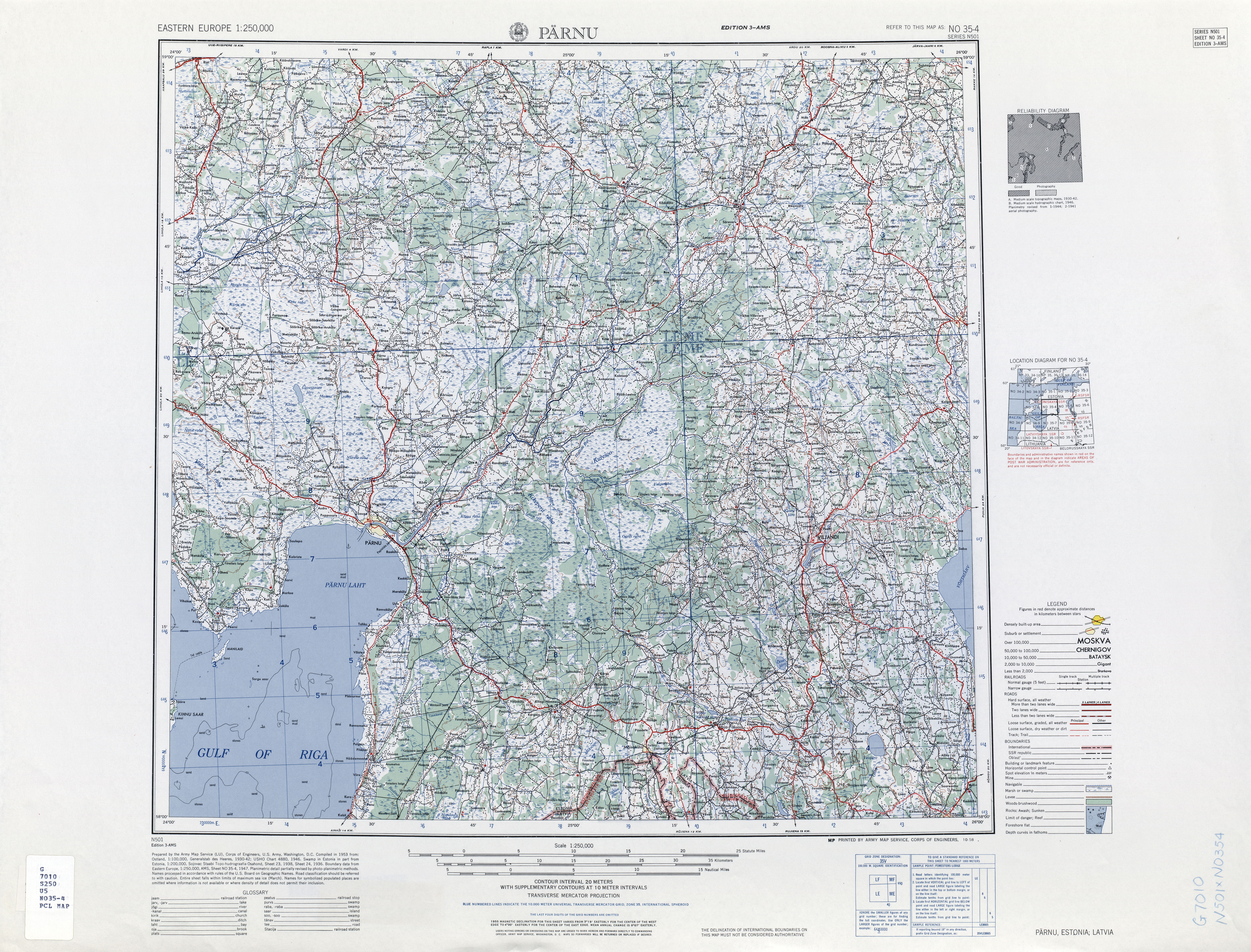
- ↑ Pärnu, Estonia; Latvia, Sheet NO 35-04 (topographic map, scale 1:250,000), Series N-501 (third ed.), United States Army Map Service, October 1958
This article is issued from
Wikipedia.
The text is licensed under Creative Commons - Attribution - Sharealike.
Additional terms may apply for the media files.