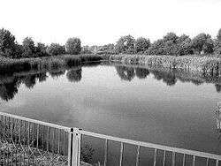
Kodyma River
| Kodyma, Кодима | |
|---|---|
 | |
| Country | Ukraine |
| Physical characteristics | |
| Main source |
Ukraine 165 m (541 ft) |
| River mouth | Southern Buh |
| Length | 149 km (93 mi) |
| Basin features | |
| Basin size | 2,470 km2 (950 sq mi) |
Kodyma (Ukrainian: Кодима[1]) is a right tributary of the Southern Buh river of Ukraine. Originating from springs in a boggy valley near the village of Budei (uk:Будеї), Kodymsky Raion, Odessa Oblast, it flows within the Odessa Oblast and Mykolaiv Oblast and joins Southern Buh about 199 km away from its mouth, near Pervomaisk, Mykolaiv Oblast.
Settlements by the river include Balta town, Holma village (uk:Гольма), Bobrik Pershy ("Bobrik the First", uk:Бобрик Перший), and Kryve Ozero urban-type settlement ("Crooked Lake").
Notes and references
- ↑ "Kodyma" is a Romanian exonym: Codâma
Coordinates: 47°56′00″N 29°37′00″E / 47.9333°N 29.6167°E
This article is issued from
Wikipedia.
The text is licensed under Creative Commons - Attribution - Sharealike.
Additional terms may apply for the media files.