The Bones
| The Bones | |
|---|---|
 The Bones seen from Beenkeragh. It is a sharp ridge. At the top-right of the picture is Caher. | |
| Highest point | |
| Elevation | 956.5 m (3,138 ft) [1] |
| Prominence | 37 m (121 ft) [1] |
| Listing | Furth |
| Coordinates | 52°00′06″N 9°44′50″W / 52.0017°N 9.7471°WCoordinates: 52°00′06″N 9°44′50″W / 52.0017°N 9.7471°W |
| Geography | |
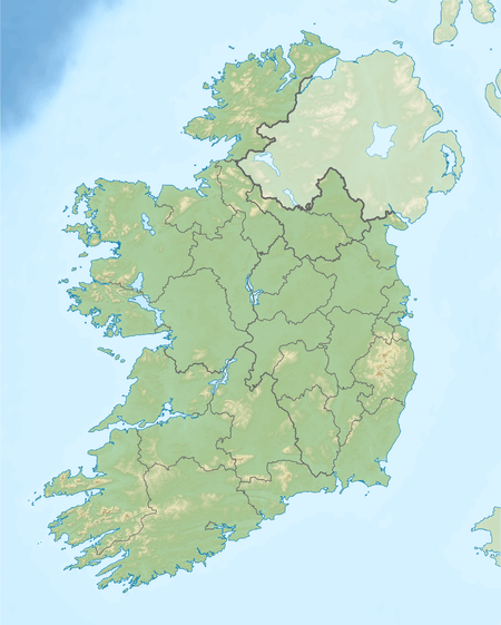 The Bones Ireland | |
| Location | County Kerry, Republic of Ireland |
| Parent range | MacGillycuddy's Reeks |
The Bones is the eighth-highest[1] mountain peak in Ireland, at 956.5 metres (3,138 ft) high[1] (though some sources give the height as 959 m[2]).
Geography
The mountain is the highest point on a rocky arête between Carrauntoohil (Ireland's highest peak) and Beenkeragh (Ireland's second-highest peak) in the MacGillycuddy's Reeks of County Kerry. Carrauntoohil is to the south and Beenkeragh to the north. To the west is Lough Eagher (a lake) and to the east is Lough Cummeenoughter, a tiny lake that flows into Lough Gouragh.[2][1] The Bones is counted by the Scottish Mountaineering Club as a Furth; a 3,000 ft high peak outside Scotland.[3] It is thus one of the 13 Irish Munros.[2]
The Bones is also known as Carrauntoohil Tooth and Knockoughter. The grid reference is V800846.[1]
See also
References
- 1 2 3 4 5 6 The Bones at mountainviews.ie. Accessed on 3 Feb 2013.
- 1 2 3 Irish Munros Archived 2013-01-13 at the Wayback Machine. at peakery.com. Accessed on 5 Feb 2013.
- ↑ Mountains - Key Facts. The Munros, Corbetts, Grahams, Donalds & Furths Archived 2012-09-04 at WebCite at www.smc.org.uk. Accessed on 5 Feb 2013.
