Cruachán Paorach
| Cruachan Paorach | |
|---|---|
| Croughaun Hill | |
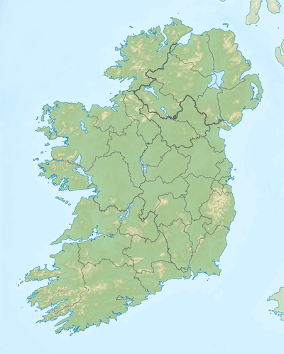 Cruachan Paorach Location in Ireland | |
| Highest point | |
| Elevation | 391 m (1,283 ft) [1] |
| Prominence | 225 m (738 ft) [2] |
| Coordinates | 52°15′02″N 7°26′56″W / 52.25056°N 7.44889°WCoordinates: 52°15′02″N 7°26′56″W / 52.25056°N 7.44889°W |
| Geography | |
| Parent range | Comeragh Mountains |
| OSI/OSNI grid | S379110 |
Cruachan Paorach is a hill in north County Waterford, Ireland.
Geography
The hill has a conical shape. Villages in its hinterland include Fews, Clonea-Power and Rathgormack. The hill is sometimes used to forecast weather as when there is low cloud on Cruachan, bad weather is reputedly on its way.
References
- ↑ http://www.hill-bagging.co.uk/mountaindetails.php?rf=20370
- ↑ "Croughaun Hill". MountainViews.ie. Retrieved January 7, 2017.

This article is issued from
Wikipedia.
The text is licensed under Creative Commons - Attribution - Sharealike.
Additional terms may apply for the media files.