Klintzkopf
| Klintzkopf | |
|---|---|
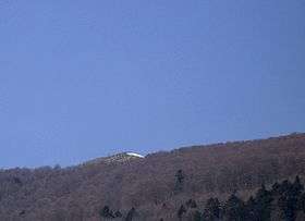 The Klintzkopf seen from the Heidenfelsen | |
| Highest point | |
| Elevation | 1,330 m (4,360 ft) [1] |
| Coordinates | 47°56′58″N 7°03′22″E / 47.94944°N 7.05611°ECoordinates: 47°56′58″N 7°03′22″E / 47.94944°N 7.05611°E |
| Geography | |
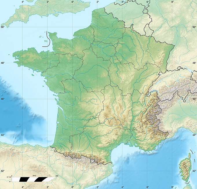 Klintzkopf France | |
| Location | Alsace, France |
| Parent range | Vosges Mountains |
The Klintzkopf, located in the French region of Alsace, is the fifth-highest summit of the Vosges Mountains.
Geography
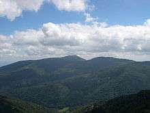
Panoramic view from the summit
The mountain is divided between the French municipalities of Guebwiller and Munster (department of Haut-Rhin, Alsace).[1]
The Klintzkopf is part of a nature reserve and it only can be accessed from July to November. It hosts the highest beech forest of the Vosges Mountains.[2]
Access to the summit
The summit of the Klintzkopf can be accessed on foot from the nearby Route des Crêtes. It offers a good point of view of the southern part of the Vosges Mountains.
See also
References
- 1 2 IGN maps available on Géoportail
- ↑ Hautes-Vosges: Klintzkopf (alt. 1330 m), www.vosges-palatinat.com (accessed on December 28th 2014)
This article is issued from
Wikipedia.
The text is licensed under Creative Commons - Attribution - Sharealike.
Additional terms may apply for the media files.