Killhope Cross
| Killhope Cross | |
|---|---|
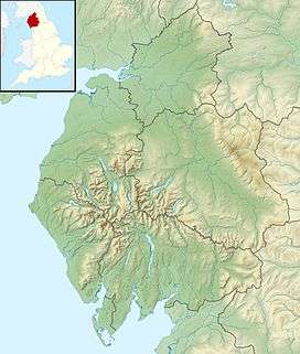 Killhope Cross Location of Killhope Cross | |
| Elevation | 627 m (2,057 ft) |
| Traversed by | A689 |
| Location |
Cornriggs, (Weardale) & Nenthead, (Alston, Cumbria), England |
| Coordinates | 54°47′01″N 2°18′48″W / 54.7835°N 2.3132°WCoordinates: 54°47′01″N 2°18′48″W / 54.7835°N 2.3132°W |
Killhope Cross (elevation 627 m, 2,057 ft) [1] is a mountain pass in the English Pennines. The pass divides Weardale to the east and Cumbria to the west. The road over the pass, the (A689) from Hartlepool to Carlisle, Cumbria, connects the towns of Cornriggs and Alston, Cumbria. It is the equal highest paved pass in England with the Harthope Moss approximately 10 miles (16 km) to the south, on the other side of Burnhope Seat (747 m, 2,451 ft).
See also
References
External links
This article is issued from
Wikipedia.
The text is licensed under Creative Commons - Attribution - Sharealike.
Additional terms may apply for the media files.