Khwaja Amran
| Khwaja Amran | |
|---|---|
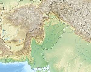 Khwaja Amran Location of Khwaja Amran range | |
| Highest point | |
| Elevation | 1,949 m (6,394 ft) [1] |
| Coordinates | 30°35′N 66°25′E / 30.583°N 66.417°ECoordinates: 30°35′N 66°25′E / 30.583°N 66.417°E |
| Geography | |
| Location |
Killa Abdullah District, Balochistan, |
| Parent range | Toba Kakar Range |
The Amran Range or Khawaja Amran is an offshoot of the Toba Kakar Range of mountains, north of Pishin Valley.[2] It is crossed by N-25 National Highway and Rohri–Chaman Railway Line that passes through the Khojak railway tunnel. The range is said to be named after a Tajik saint.[3]
See also
References
- ↑ Salman Rashid (27 March 2013). "Arrow through Khwaja Amran: Chaman Extension Railway". Retrieved 31 March 2017.
- ↑ A Manual of the Geology of India: Chiefly Compiled from the Observations of the Geological Survey. 1893. p. 142 (180). Retrieved 31 March 2017.
- ↑ "Killa Abdullah - Government of Balochistan". www.balochistan.gov.pk. Retrieved 31 March 2017.
External links
This article is issued from
Wikipedia.
The text is licensed under Creative Commons - Attribution - Sharealike.
Additional terms may apply for the media files.