Khorog Airport
| Khorog Airport | |||||||||||
|---|---|---|---|---|---|---|---|---|---|---|---|
 | |||||||||||
| Summary | |||||||||||
| Airport type | Public | ||||||||||
| Operator | Government | ||||||||||
| Serves | Khorog, Tajikistan | ||||||||||
| Elevation AMSL | 6,700 ft / 2,042 m | ||||||||||
| Coordinates | 37°30′08″N 071°30′48″E / 37.50222°N 71.51333°E | ||||||||||
| Map | |||||||||||
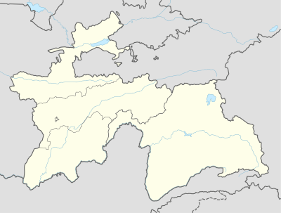 Khorog Location of airport in Tajikistan | |||||||||||
| Runways | |||||||||||
| |||||||||||
Khorog Airport (ICAO: UTOD) is an airport serving Khorugh[1] (also spelled Khorog), a city in the Gorno-Badakhshan Autonomous Province in Tajikistan.
Facilities and aircraft
The airport resides at an elevation of 6,700 feet (2,042 m) above mean sea level. It has one runway designated 16/34 with an asphalt surface measuring 1,840 by 49 metres (6,037 ft × 161 ft).[1] Aga Khan Foundation has plans to build a new runway at the airport.[3]
Airlines and destinations
| Airlines | Destinations |
|---|---|
| Tajik Air | Dushanbe[4] |
References
- 1 2 3 Airport information from DAFIF (effective October 2006)
- ↑ Airport information for UTOD at Great Circle Mapper. Source: DAFIF (effective October 2006).
- ↑ http://dlca.logcluster.org/display/public/DLCA/2.2.5+Tajikistan+Khorog+Airport, 2014
- ↑ http://dlca.logcluster.org/display/public/DLCA/2.2.5+Tajikistan+Khorog+Airport, 2014
External links
This article is issued from
Wikipedia.
The text is licensed under Creative Commons - Attribution - Sharealike.
Additional terms may apply for the media files.