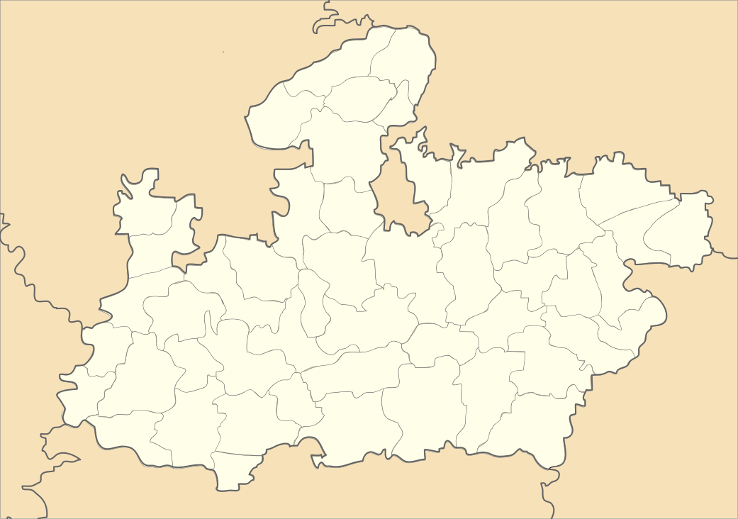
Khejra Ghat (census code 482058)
- Not to be confused with Khejra Ghat near Arjunkhedi.
| Khejra Ghat | |
|---|---|
| village | |
 Khejra Ghat  Khejra Ghat | |
| Coordinates: 23°48′39″N 77°15′36″E / 23.810966°N 77.260007°ECoordinates: 23°48′39″N 77°15′36″E / 23.810966°N 77.260007°E | |
| Country | India |
| State | Madhya Pradesh |
| District | Bhopal |
| Tehsil | Berasia |
| Population (2011) | |
| • Total | 708 |
| Time zone | UTC+5:30 (IST) |
| ISO 3166 code | MP-IN |
| Census code | 482058 |
Khejra Ghat is a village in the Bhopal district of Madhya Pradesh, India. It is located in the Berasia tehsil.[1]
It is located close to the Guna-Bhopal road, near Nazirabad and Khejra Kalyanpur.
Demographics
According to the 2011 census of India, Khejra Ghat has 165 households. The effective literacy rate (i.e. the literacy rate of population excluding children aged 6 and below) is 57.36%.[2]
| Total | Male | Female | |
|---|---|---|---|
| Population | 708 | 353 | 355 |
| Children aged below 6 years | 117 | 55 | 62 |
| Scheduled caste | 122 | 64 | 58 |
| Scheduled tribe | 4 | 3 | 1 |
| Literates | 339 | 213 | 126 |
| Workers (all) | 380 | 182 | 198 |
| Main workers (total) | 372 | 177 | 195 |
| Main workers: Cultivators | 321 | 149 | 172 |
| Main workers: Agricultural labourers | 47 | 25 | 22 |
| Main workers: Household industry workers | 0 | 0 | 0 |
| Main workers: Other | 4 | 3 | 1 |
| Marginal workers (total) | 8 | 5 | 3 |
| Marginal workers: Cultivators | 2 | 1 | 1 |
| Marginal workers: Agricultural labourers | 3 | 2 | 1 |
| Marginal workers: Household industry workers | 0 | 0 | 0 |
| Marginal workers: Others | 3 | 2 | 1 |
| Non-workers | 328 | 171 | 157 |
References
- ↑ Lok Seva Kendra, Berasia
- 1 2 "District Census Handbook - Bhopal" (PDF). 2011 Census of India. Directorate of Census Operations, Madhya Pradesh. Retrieved 2015-07-20.
This article is issued from
Wikipedia.
The text is licensed under Creative Commons - Attribution - Sharealike.
Additional terms may apply for the media files.