Khatyari
| Khatyari | |
|---|---|
| Census Town | |
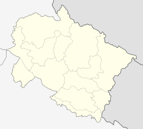
 Khatyari Location in Uttarakhand, India  Khatyari Khatyari (India) | |
| Coordinates: 29°35′32″N 79°38′19″E / 29.592147°N 79.6387421°ECoordinates: 29°35′32″N 79°38′19″E / 29.592147°N 79.6387421°E | |
| Country |
|
| State | Uttarakhand |
| District | Almora |
| Area | |
| • Total | 3 km2 (1 sq mi) |
| Population (2011)[1] | |
| • Total | 5,166 |
| • Density | 1,700/km2 (4,500/sq mi) |
| Languages | |
| • Official | Hindi, Sanskrit |
| Time zone | UTC+5:30 (IST) |
| PIN | 263656[2] |
| Vehicle registration | UK - 01 |
Khatyari is a Census Town in the Indian state of Uttarakhand located near Almora.[3]
Almora was the capital of Kumaon Kingdom and it is believed that the wariers of Kumaon kingdom resided there, since the capital town during those days needed to be protected round the clock. The shrine of Goddess Nanda was built and the heaviest stone was placed on top, by the people of Khatyari. The Mugal invaders weren't able to concur the Kumaon Kingdom since it was heavily guarded by the warriors. In the present day the village is a part of the urban area of Almora where descendants of the Kumaoni worriers still live. During British colonial era villagers of Khatyari initially ignited the Kuli Begar movement against British administration gradually it spread all across the region. Thereby, a slogan Kuli begar bahadur Kanwal became famous during those days.
References
- ↑ "Khatyari City Population Census 2011 - Uttarakhand". www.census2011.co.in. Retrieved 5 August 2018.
- ↑ "Khatyari Pin Code". Mapsofindia. Retrieved 26 October 2015.
- ↑ "Khatyari (CT) Census Town". indikosh.com. Retrieved 5 August 2018.