Kettle River (Blueberry River tributary)
| Kettle River | |
| River | |
| Country | United States |
|---|---|
| State | Minnesota |
| Source | |
| - location | Spruce Grove Township, Becker County |
| - elevation | 1,550 ft (472 m) [1] |
| - coordinates | 46°47′52″N 95°20′32″W / 46.79778°N 95.34222°W [2] |
| Mouth | Blueberry River |
| - location | Blueberry Township, Wadena County |
| - elevation | 1,381 ft (421 m) [1] |
| - coordinates | 46°45′51″N 95°08′20″W / 46.76417°N 95.13889°WCoordinates: 46°45′51″N 95°08′20″W / 46.76417°N 95.13889°W [2] |
| Length | 17.2 mi (28 km) [3] |
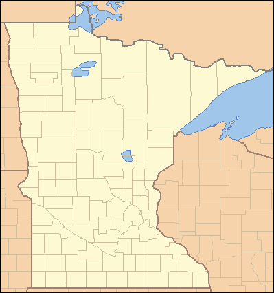 Location of the mouth of the Kettle River | |
The Kettle River, also known as Kettle Creek, is a tributary of the Blueberry River, 17 miles (28 km) long, in north-central Minnesota in the United States. Via the Blueberry, Shell, and Crow Wing Rivers, it is part of the watershed of the Mississippi River, draining a rural area.
The Blueberry River rises approximately one mile (2 km) south of Wolf Lake in Spruce Grove Township in southeastern Becker County and flows generally eastwardly through Runeberg Township into northwestern Wadena County. It flows into the Blueberry River in Blueberry Township, approximately two miles (3 km) west of Menahga.[4] The Kettle River flows in the Northern Lakes and Forests ecoregion, which is characterized by conifer and hardwood forests on flat and rolling till plains and outwash plains.[5]
See also
References and notes
- 1 2 Google Earth elevation for GNIS coordinates. Retrieved on 2007-06-24.
- 1 2 "Geographic Names Information System entry for Kettle River (Feature ID #646129)". Geographic Names Information System. United States Geological Survey. Retrieved 2007-06-24.
- ↑ "National Assessment Database: Assessment Data for the State of Minnesota Year 2004". United States Environmental Protection Agency. pp. Crow Wing Watershed. Archived from the original on 2007-07-07. Retrieved 2007-06-24.
- ↑ Minnesota Atlas & Gazetteer. Yarmouth, Me.: DeLorme. 1994. p. 61. ISBN 0-89933-222-6.
- ↑ "Upper Mississippi River Basin". Minnesota Pollution Control Agency. 2000. pp. Upper Mississippi River Basin Water Quality Plan, Headwaters to the Rum River - Anoka, Section III: Upper Mississippi River Basin. Archived from the original on 2007-06-18. Retrieved 2007-06-24.