Kerema District
| Kerema District | |
|---|---|
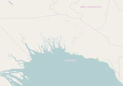 Kerema District Location within Gulf Province of Papua New Guinea. | |
| Coordinates: 7°58′S 145°46′E / 7.967°S 145.767°E | |
| Country |
|
| Province | Gulf Province |
| Capital | Kerema |
| Area | |
| • Total | 7,318 km2 (2,825 sq mi) |
| Population (2011 census) | |
| • Total | 107,231 |
| • Density | 15/km2 (38/sq mi) |
| Time zone | UTC+10 (AEST) |
Kerema District is a district of the Gulf Province of Papua New Guinea. Its capital is Kerema.[1]
References
- ↑ Districts of Papua New Guinea at statoids.com
Coordinates: 7°57′49″S 145°46′17″E / 7.96361°S 145.77139°E
This article is issued from
Wikipedia.
The text is licensed under Creative Commons - Attribution - Sharealike.
Additional terms may apply for the media files.