Kerala Piravi
| Kerala | |
|---|---|
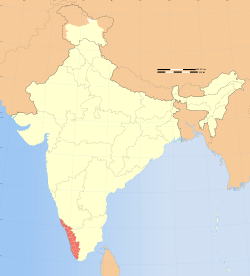 Location of Kerala in India | |
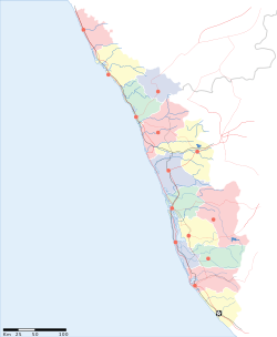 Map of Kerala | |
| Coordinates: 8°30′27″N 76°58′19″E / 8.5074°N 76.972°E |
Kerala Piravi marks the birth of the state of Kerala in India. The state of Kerala was created on November 1, 1956.
Kerala, the state of India, was formed long after Indian independence on 15 August 1947. Prior to that date it was three independent provinces named Malabar, Cochin and Travancore.
History
Pre-modern era
Prior to 1956, Kerala was made up of three distinct areas. Malabar, Cochin and Travancore.
Malabar forms the northern territories with Thalassery, Cannanore and Kasaragod with a tiny pocket-handkerchief French possession of Mahe (which was returned to India in the early 1950s and is now administratively part of Pondicherry). This area belonged to what was once called the Madras Presidency under the British. The middle section is formed by the princely State of 'Cochin'; the third, Southern territory, comprises 'Travancore', another princely state.
A series of agitations for political rights and a popular Government begun in Travancore and Kochi early in this century and later joined by other provinces fetched independence in 1947 and the first popular Government took over from the British royal family. On July 1, 1949, Travancore and Kochi joined to form the unified Travancore-Cochin state. But Kerala continued to be politically divided till the 1950s, even in the midst of geographic similarities and solidarity of language.
A popular movement known as Aikya Kerala (meaning united Kerala), for the formation of the State of Kerala, gave an impetus to the reorganisation of the state on a linguistic basis.[1][2]