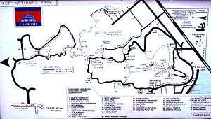
Kep National Park
| Kep National Park | |
|---|---|
|
IUCN category II (national park) | |
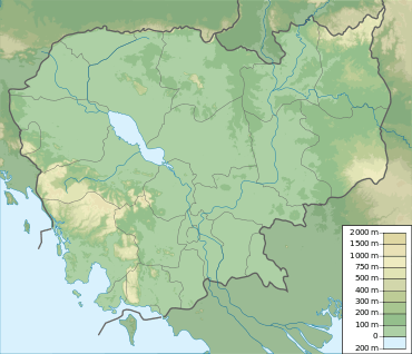 Southeast Asia, Cambodia (green) | |
| Location | Kep, Cambodia |
| Coordinates | 10°30′22″N 104°18′29″E / 10.50614988°N 104.30800459°ECoordinates: 10°30′22″N 104°18′29″E / 10.50614988°N 104.30800459°E |
| Area | 50 km2 (19 sq mi)[1] |
| Established | 1993[2] |
Kep National Park (Khmer: ឧទ្យានជាតិកែប - Outtyeancheat Kaeb) is a national park of Cambodia in the Kep region of Cambodia. Established in 1993, it covers an area of 50 km². The nearest town lies at Krong Kaeb.
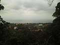
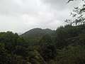
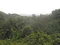
The park includes a small mountain range with tracks and trails which are popular with tourists. The trails boast incredible views of Phu Quoc and the Bokor Ranges on the south and west sides, and views across islands of the vast Vietnamese marine reserve in Kiên Giang to the east side.[3]
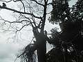
Gallery

References
- ↑ Protected Areas and Development in The Lower Mekong River Region International Centre for Environmental Management
- ↑ "Kep National Park". WCMC. Retrieved 2009-08-28.
- ↑ Kiên Giang UNESCO-MAB Biosphere Reserve UNESCO
Sources
- Protected Areas and Development in The Lower Mekong River Region, International Centre for Environmental Management.
- Kep National Park in the UNEP-WCMC World Database on Protected Areas (WDPA) from the World Conservation Monitoring Centre
External links
This article is issued from
Wikipedia.
The text is licensed under Creative Commons - Attribution - Sharealike.
Additional terms may apply for the media files.