Kempston Central and East
| Kempston Central and East | |
|---|---|
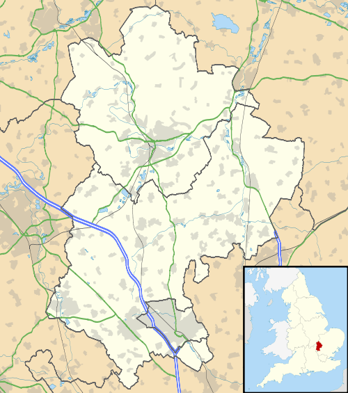 Kempston Central and East Kempston Central and East shown within Bedfordshire | |
| Population | 7,136 (2011 Census. Ward)[1] |
| OS grid reference | TL036478 |
| Civil parish | |
| Unitary authority | |
| Ceremonial county | |
| Region | |
| Country | England |
| Sovereign state | United Kingdom |
| Post town | BEDFORD |
| Postcode district | MK42 |
| Dialling code | 01234 |
| Police | Bedfordshire |
| Fire | Bedfordshire and Luton |
| Ambulance | East of England |
| EU Parliament | East of England |
| UK Parliament | |
Kempston Central and East is an electoral ward and area within Kempston, Bedfordshire, England.
The boundaries of the ward are approximately the River Great Ouse to the north, the Midland Main Line railway line to the east, Elstow Road to south and Bedford Road to the west.
The area used to be a hamlet known as Kempston East End, but was absorbed into the Kempston Urban District in 1896. Today, Kempston Barracks and the Saxon shopping centre (including a Sainsburys supermarket) are located within the boundaries of the ward.
Previously known as Kempston East, the ward's name was changed for the 5th May 2011 local elections and it became Kempston Central and East.[2]
References
- ↑ "Bedford Ward population 2011". Neighbourhood Statistics. Office for National Statistics. Retrieved 9 November 2016.
- ↑ "Archived copy". Archived from the original on 6 May 2014. Retrieved 2013-08-16.
This article is issued from
Wikipedia.
The text is licensed under Creative Commons - Attribution - Sharealike.
Additional terms may apply for the media files.