Kemble Railway Cuttings
| Site of Special Scientific Interest | |
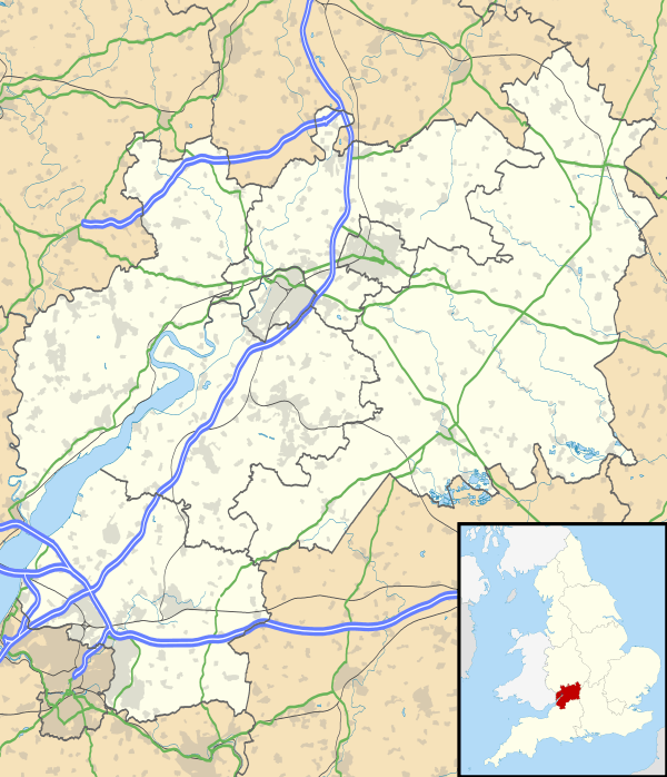 Location within Gloucestershire | |
| Area of Search | Gloucestershire |
|---|---|
| Grid reference | ST975976 & ST985973 & ST982989 |
| Coordinates | 51°40′30″N 2°01′21″W / 51.6749°N 2.0224°WCoordinates: 51°40′30″N 2°01′21″W / 51.6749°N 2.0224°W |
| Interest | Geological |
| Area | 2.72 hectare |
| Notification | 1996 |
| Natural England website | |
Kemble Railway Cuttings (ST975976 & ST985973 & ST982989) is a 2.72-hectare (6.7-acre) geological Site of Special Scientific Interest in Gloucestershire, England, notified in 1996.[1][2] The site is listed in the Cotswold District Local Plan 2001–2011 as a Regionally Important Geological Site (RIGS).[3]
Location and geology
The site is a Geological Conservation Review (GCR) site, which is of significant importance regionally (south-west of England) for research on the stratigraphy of Middle Jurassic (Bathonian) rocks. The rocks exhibit the type section of the Kemble Beds, and show good examples of basal Forest Marble coral patch reefs with inter-reef sediments. The site consists of three separate units.[4]
The exposures provide a vital reference section for correlating the successions of the Cirencester, Minchinhampton and Bath areas of the country. In particular, the Bradford Fossil Bed at the former Tetbury Road railway station is of historical and biostratigraphical interest.[4]
References
- ↑ "Kemble Railway Cuttings SSSI". Natural England. Retrieved 6 October 2017.
- ↑ Cotswold District Local Plan, Appendix 1, Sites of Special Scientific Interest Archived 2012-03-26 at the Wayback Machine.
- ↑ Cotswold District Local Plan, Appendix 3, Regionally Important Geological Sites Archived 2012-03-26 at the Wayback Machine.
- 1 2 Natural England SSSI information on the citation
SSSI Source
External links
- Natural England (SSSI information)