Kejyonuma Dam
| Kejyonuma Dam | |
|---|---|
 | |
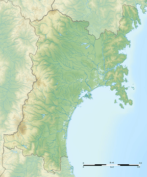 Location of Kejyonuma Dam in Miyagi Prefecture  Kejyonuma Dam (Japan) | |
| Location | Ōsaki, Miyagi, Japan |
| Coordinates | 38°37′36″N 140°57′50″E / 38.62667°N 140.96389°ECoordinates: 38°37′36″N 140°57′50″E / 38.62667°N 140.96389°E |
| Construction began | 1980 |
| Opening date | 1995 |
| Owner(s) | Miyagi Prefecture |
| Dam and spillways | |
| Type of dam | Earthen dam |
| Height | 24 meters |
| Length | 260 meters |
| Reservoir | |
| Creates | Lake Kejyonuma |
| Total capacity | 2,880,000 sq m |
| Catchment area | 9.93 sq km |
| Surface area | 65 hectares |
| Official name | Kejo-numa |
| Designated | 31 October 2008 |
| Reference no. | 1843[1] |
Kejyonuma Dam (Japanese: 化女沼ダム) is an earthen dam in the city of Ōsaki, Miyagi Prefecture, Japan, completed in 1995.[2] The dam crosses the Tajiri River, a branch of the Kitakami River and utilises the basin of a pre-existing natural lake.
A 34 hectare portion of the wetlands at Lake Kejyonuma has been protected since October 2008 as a Ramsar site in Japan [3].
References
- ↑ "Kejo-numa". Ramsar Sites Information Service. Retrieved 25 April 2018.
- ↑ http://damnet.or.jp/cgi-bin/binranA/enAll.cgi?db4=0305
- ↑ Kejo-numa Water Storage Area, Permanent Freshwater Lake
| Wikimedia Commons has media related to Kejyonuma Dam. |
This article is issued from
Wikipedia.
The text is licensed under Creative Commons - Attribution - Sharealike.
Additional terms may apply for the media files.