Kavchut
| Kavchut Կավճուտ | |
|---|---|
| village | |
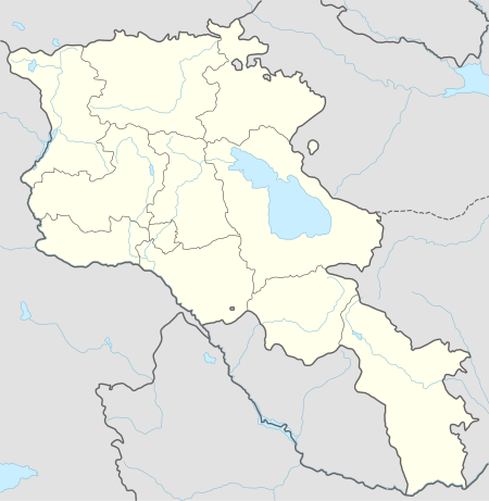
 Kavchut Location in Armenia | |
| Coordinates: 39°12′31″N 46°14′27″E / 39.20861°N 46.24083°ECoordinates: 39°12′31″N 46°14′27″E / 39.20861°N 46.24083°E | |
| Country |
|
| Province | Syunik |
| community | Lernadzor |
| Elevation | 1,378 m (4,521 ft) |
| Population (2011) | |
| • Total | 88 |
| Kavchut at GEOnet Names Server | |
Kavchut (Armenian: Կավճուտ, also Romanized as Kavjut, Kovshut and Ghovshut) is a village in the rural community of Lernadzor in south-eastern Armenia. It is located in Syunik Province. The village's population was 88 at the 2011 census,[1] down from 112 at the 2001 census.[2]
Nearby towns and villages include Baharlu (1.9 kilometres (1.2 mi)), Verin Giratagh (3.5 kilometres (2.2 mi)), Kuchuma (2.1 kilometres (1.3 mi)), Nerkin Giratagh (2.6 kilometres (1.6 mi)), Lerrnadzor (5.8 kilometres (3.6 mi)) and Musallam (2.3 kilometres (1.4 mi)).
See also
References
- ↑ "Report of the Results of the 2011 Armenian Census" (PDF). National Statistical Service of the Republic of Armenia.
- ↑ Report of the results of the 2001 Armenian Census, National Statistical Service of the Republic of Armenia
This article is issued from
Wikipedia.
The text is licensed under Creative Commons - Attribution - Sharealike.
Additional terms may apply for the media files.