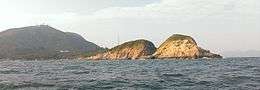
Kau Pei Chau
| Native name: 狗髀洲 | |
|---|---|
 | |
 Kau Pei Chau | |
| Geography | |
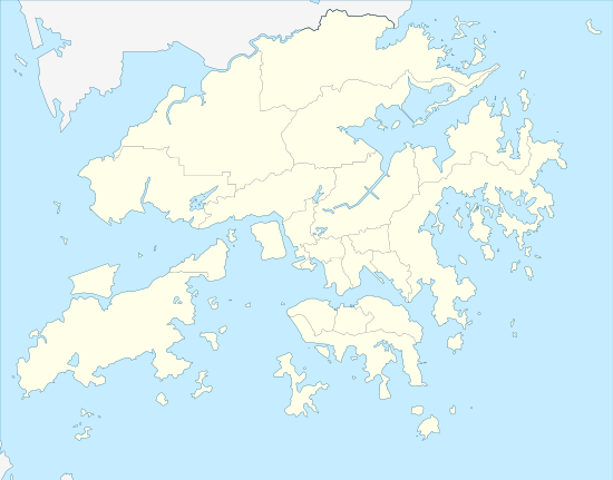
| Coordinates | 22°12′00″N 114°15′00″E / 22.20000°N 114.25000°ECoordinates: 22°12′00″N 114°15′00″E / 22.20000°N 114.25000°E |
| Length | 1,340 m (4,400 ft) |
| Administration | |
| District | Southern |
| Demographics | |
| Population | 0 |
Kau Pei Chau (Chinese: 狗髀洲; Sidney Lau: Gau2 Bei2 Jau1) is an uninhabited islet located off the coast of Hong Kong Island, about 50 metres off the tip of Cape D'Aguilar. Administratively, it is part of Southern District. Kau Pei Chau has a length of 1.34 kilometres.[1]It is located directly south of the Cape D’Aguilar Marine Reserve.
Name
Kau Pei (狗髀) literally means the thigh of a dog. Its original name in Chinese is Kau Pui (Chinese: 筊杯; Sidney Lau: Gaau2 Booi1), which is a divination tool used in temples to request an answer from the gods in ancient China.[2][3]
See also
References
| Wikimedia Commons has media related to Kau Pei Chau. |
This article is issued from
Wikipedia.
The text is licensed under Creative Commons - Attribution - Sharealike.
Additional terms may apply for the media files.