Katyn-Tau
| Katyn-Tau | |
|---|---|
_from_Semenovskogo.jpg) | |
| Highest point | |
| Elevation | 4,979 m (16,335 ft) |
| Coordinates | 43°01′47″N 43°02′11″E / 43.02972°N 43.03639°ECoordinates: 43°01′47″N 43°02′11″E / 43.02972°N 43.03639°E |
| Geography | |
| Parent range | Caucasus Mountains |
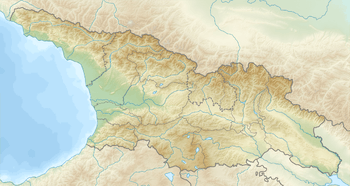
Katyn-Tau (Georgian: კათინთაუ; Russian: Катын-Тау) is a summit in the central part of the Greater Caucasus Mountain Range (Bezengi Wall).[1] It lies on the border of Svaneti (Mestia Municipality, Georgia) and Kabardino-Balkaria (Russia). The elevation of the mountain is 4979 m (16,335 ft) above sea level.[2] The mountain is made up of paleozoic granites. The slopes of summit are covered nival landscape.[1]
References
- 1 2 M. Utmelidze, Georgian Soviet Encyclopedia, V, p. 318, Tbilisi, Georgia, 1980.
- ↑ Katyn-Tau — peakbagger.com
This article is issued from
Wikipedia.
The text is licensed under Creative Commons - Attribution - Sharealike.
Additional terms may apply for the media files.
