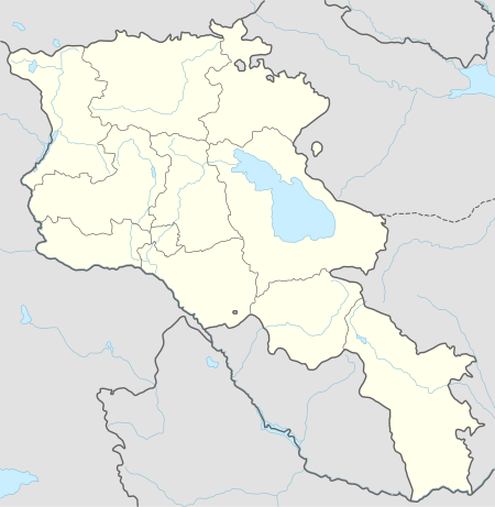
Karut
| Karut Քարուտ | |
|---|---|
| village | |
 Karut | |
| Coordinates: 39°16′15″N 46°07′08″E / 39.27083°N 46.11889°ECoordinates: 39°16′15″N 46°07′08″E / 39.27083°N 46.11889°E | |
| Country |
|
| Marz (Province) | Syunik |
| Municipality | Kajaran Municipality |
| Population (2011) | |
| • Total | 0 |
| Time zone | UTC+4 ( ) |
| Karut at GEOnet Names Server | |
Karut (Armenian: Քարուտ; formerly, Kyurut Armenian: Քյուրուտ and earlier Kahurt) is an abandoned village in the Kajaran Municipality of Syunik Province, Armenia. The National Statistical Service of the Republic of Armenia (ARMSTAT) reported it as unpopulated at the 2011 census,[1] down from 8 at the 2001 census.[2]
See also
References
- ↑ "Report of the Results of the 2011 Armenian Census" (PDF). National Statistical Service of the Republic of Armenia.
- ↑ Report of the results of the 2001 Armenian Census, National Statistical Service of the Republic of Armenia
This article is issued from
Wikipedia.
The text is licensed under Creative Commons - Attribution - Sharealike.
Additional terms may apply for the media files.