Karlebotn
| Karlebotn Stuorravuonna | |
|---|---|
| Village | |
 Karlebotn Location in Finnmark  Karlebotn Karlebotn (Norway) | |
| Coordinates: 70°07′21″N 28°34′31″E / 70.12250°N 28.57528°ECoordinates: 70°07′21″N 28°34′31″E / 70.12250°N 28.57528°E | |
| Country | Norway |
| Region | Northern Norway |
| County | Finnmark |
| District | Øst-Finnmark |
| Municipality | Nesseby |
| Elevation[1] | 11 m (36 ft) |
| Time zone | UTC+01:00 (CET) |
| • Summer (DST) | UTC+02:00 (CEST) |
| Post Code | 9840 Varangerbotn |
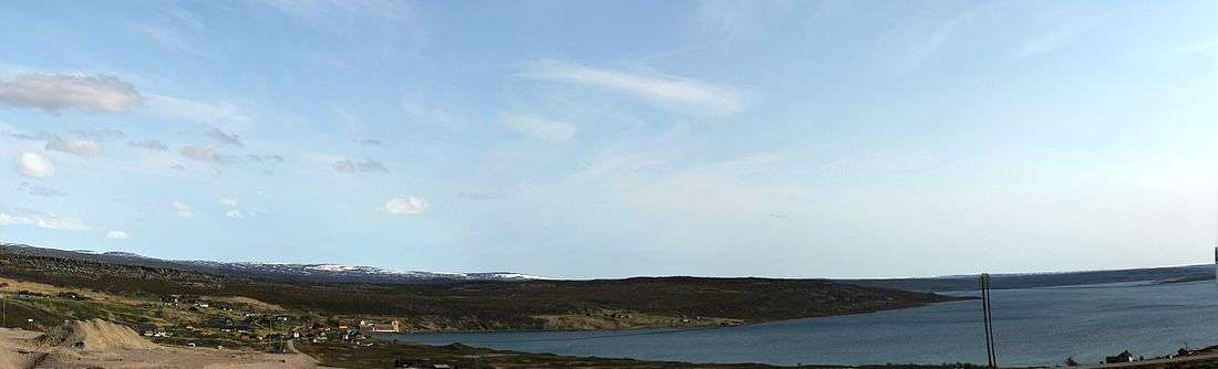
Karlebotn (Northern Sami: Stuorravuonna) is a village in Nesseby Municipality in Finnmark county, Norway. The village lies on the southern shore of the inner part of the Varangerfjorden, about 8 kilometres (5.0 mi) southeast of the municipal centre of Varangerbotn. The statistical area of Karlebotn, which also includes the peripheral parts of the village, as well as the surrounding countryside, has a population of 93.[2][3]
Media gallery
References
- ↑ "Karlebotn" (in Norwegian). yr.no. Retrieved 2013-03-20.
- ↑ Statistics Norway (2006). "Statistics bank". Archived from the original on 2012-05-26.
- ↑ Store norske leksikon. "Karlebotn" (in Norwegian). Retrieved 2013-03-20.
This article is issued from
Wikipedia.
The text is licensed under Creative Commons - Attribution - Sharealike.
Additional terms may apply for the media files.