Kangerlussuaq Glacier
| Kangerlussuaq Glacier | |
|---|---|
.jpg) Kangerlugssuaq Glacier | |
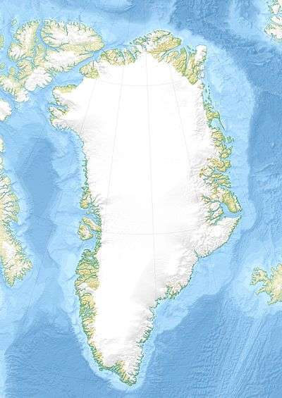
 Location within Greenland | |
| Location | Greenland |
| Coordinates | 68°38′N 33°0′W / 68.633°N 33.000°WCoordinates: 68°38′N 33°0′W / 68.633°N 33.000°W |
| Terminus | North Atlantic Ocean |
Kangerlussuaq Glacier (Greenlandic: Kangerlussuaq, meaning 'large fjord'; old spelling Kangerdlugssuaq) is the largest glacier on the east coast of the Greenland ice sheet.[1] It flows into the head of the Kangerlussuaq Fjord, the second largest fjord in East Greenland.[2]
See also
References
- ↑ "Kangerdlugssuaq Glacier". United Nations Environment Programme. Retrieved 2009-08-16.
- ↑ "Kangerlussuaq Gletscher". Mapcarta. Retrieved 11 April 2016.
External links
- Glaciers Not On Simple, Upward Trend Of Melting sciencedaily.com, Feb. 21, 2007 "Two of Greenland's largest glaciers (Kangerdlugssuaq and Helheim) shrank dramatically ... between 2004 and 2005. And then, less than two years later, they returned to near their previous rates of discharge.
This article is issued from
Wikipedia.
The text is licensed under Creative Commons - Attribution - Sharealike.
Additional terms may apply for the media files.